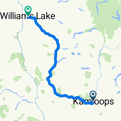
Rocky Mountain - 1200
- 1,185.8 km
- 3,656 m
- 3,657 m
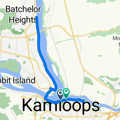
- Kamloops, British Columbia, Canada
A cycling route starting in Kamloops, British Columbia, Canada.
Overview
Von Kamloops über Cache Creek Lillooet-Pampaton-Whistler-Squanish
created this 12 years ago
Continue with Bikemap
You would like to ride Canadatour 2013 or customize it for your own trip? Here is what you can do with this Bikemap route:
Free trial for 3 days, or one-time payment. More about Bikemap Premium.
Discover more Premium features.
Get Bikemap PremiumFrom our community
Open it in the app