

2013 Ride Day 27 - Bram Circle through Villepinte, St-Papoul, St-Ferréol, and Carlipa
A cycling route starting in Bram, Occitanie, France.
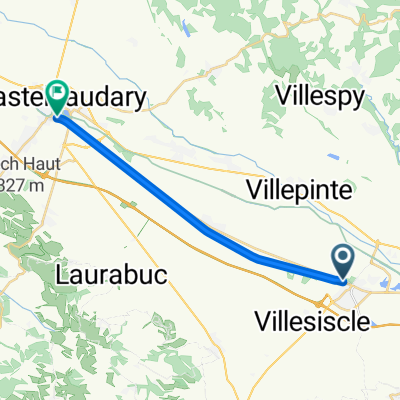
Overview
About this route
Mostly fantastic low-traffic roads with excellent climbs and vistas. Only D624 and D629 had a bit more traffic than we'd like.
- -:--
- Duration
- 70.4 km
- Distance
- 786 m
- Ascent
- 785 m
- Descent
- ---
- Avg. speed
- ---
- Max. altitude

Route quality
Waytypes & surfaces along the route
Waytypes
Road
52.8 km
(75 %)
Quiet road
9.1 km
(13 %)
Undefined
8.4 km
(12 %)
Surfaces
Paved
14.1 km
(20 %)
Asphalt
14.1 km
(20 %)
Undefined
56.3 km
(80 %)
Continue with Bikemap
Use, edit, or download this cycling route
You would like to ride 2013 Ride Day 27 - Bram Circle through Villepinte, St-Papoul, St-Ferréol, and Carlipa or customize it for your own trip? Here is what you can do with this Bikemap route:
Free features
- Save this route as favorite or in collections
- Copy & plan your own version of this route
- Sync your route with Garmin or Wahoo
Premium features
Free trial for 3 days, or one-time payment. More about Bikemap Premium.
- Navigate this route on iOS & Android
- Export a GPX / KML file of this route
- Create your custom printout (try it for free)
- Download this route for offline navigation
Discover more Premium features.
Get Bikemap PremiumFrom our community
Other popular routes starting in Bram
 Day 38 | Bram to Puichéric
- Distance
- 71.2 km
- Ascent
- 91 m
- Descent
- 201 m
- Location
- Bram, Occitanie, France
 Schnelle Fahrt
- Distance
- 15.4 km
- Ascent
- 46 m
- Descent
- 17 m
- Location
- Bram, Occitanie, France
 2013 Ride Day 25 - Bram Circle through Labécède-Lauragais and Lasbordes
- Distance
- 52.9 km
- Ascent
- 447 m
- Descent
- 444 m
- Location
- Bram, Occitanie, France
 Bram-Rivesaltes par St-Paul-Fenouillet
- Distance
- 119 km
- Ascent
- 773 m
- Descent
- 875 m
- Location
- Bram, Occitanie, France
 Bram - Narbone
- Distance
- 254.2 km
- Ascent
- 2,350 m
- Descent
- 2,468 m
- Location
- Bram, Occitanie, France
 Carcassonne to Saint-Paul, Aude France
- Distance
- 133.3 km
- Ascent
- 3,078 m
- Descent
- 2,801 m
- Location
- Bram, Occitanie, France
 2013 Ride Day 28 - Bram to St-Pierre-de-Rivière (Foix)
- Distance
- 90 km
- Ascent
- 1,033 m
- Descent
- 707 m
- Location
- Bram, Occitanie, France
 Le Gabachou 943, Bram to La Noble 316, Pennautier
- Distance
- 26 km
- Ascent
- 13 m
- Descent
- 81 m
- Location
- Bram, Occitanie, France
Open it in the app