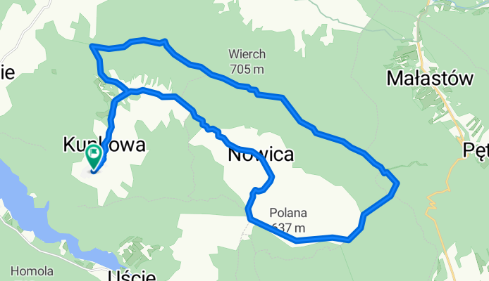
Kunkowa - Magura Ma艂astowska - Kunkowa
A cycling route starting in U艣cie Gorlickie, Lesser Poland Voivodeship, Poland.
Overview
About this route
P臋tla przez Magur臋
- -:--
- Duration
- 25.9 km
- Distance
- 437 m
- Ascent
- 437 m
- Descent
- ---
- Avg. speed
- ---
- Max. altitude
Continue with Bikemap
Use, edit, or download this cycling route
You would like to ride Kunkowa - Magura Ma艂astowska - Kunkowa or customize it for your own trip? Here is what you can do with this Bikemap route:
Free features
- Save this route as favorite or in collections
- Copy & plan your own version of this route
- Sync your route with Garmin or Wahoo
Premium features
Free trial for 3 days, or one-time payment. More about Bikemap Premium.
- Navigate this route on iOS & Android
- Export a GPX / KML file of this route
- Create your custom printout (try it for free)
- Download this route for offline navigation
Discover more Premium features.
Get Bikemap PremiumFrom our community
Other popular routes starting in U艣cie Gorlickie
- Kunkowa - Magura Ma艂astowska - Kunkowa
- Distance
- 25.9 km
- Ascent
- 437 m
- Descent
- 437 m
- Location
- U艣cie Gorlickie, Lesser Poland Voivodeship, Poland
- bike tour through Wysowa-Zdr贸j
- Distance
- 14 km
- Ascent
- 349 m
- Descent
- 332 m
- Location
- U艣cie Gorlickie, Lesser Poland Voivodeship, Poland
- Magura_Owczary_Bielanka_Klimkowka
- Distance
- 60.5 km
- Ascent
- 1,345 m
- Descent
- 1,343 m
- Location
- U艣cie Gorlickie, Lesser Poland Voivodeship, Poland
- CYKLOTOUR 2013 - Jazero Klimkowka 3.
- Distance
- 51.5 km
- Ascent
- 596 m
- Descent
- 525 m
- Location
- U艣cie Gorlickie, Lesser Poland Voivodeship, Poland
- w艣r贸d drewnianych cerkwi, ko艣cio艂贸w i krzy偶y
- Distance
- 21.6 km
- Ascent
- 530 m
- Descent
- 529 m
- Location
- U艣cie Gorlickie, Lesser Poland Voivodeship, Poland
- Trasa 2 - Przystanek Wysowa
- Distance
- 66.2 km
- Ascent
- 1,202 m
- Descent
- 1,202 m
- Location
- U艣cie Gorlickie, Lesser Poland Voivodeship, Poland
- 贸semka na szosie
- Distance
- 39.3 km
- Ascent
- 606 m
- Descent
- 606 m
- Location
- U艣cie Gorlickie, Lesser Poland Voivodeship, Poland
- bobrowym szlakiem
- Distance
- 38.1 km
- Ascent
- 756 m
- Descent
- 756 m
- Location
- U艣cie Gorlickie, Lesser Poland Voivodeship, Poland
Open it in the app