

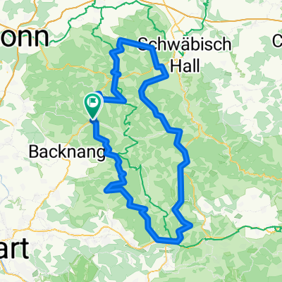
Schwäbischer Wald Sulzbach - Murrhadt
A cycling route starting in Sulzbach an der Murr, Baden-Wurttemberg, Germany.
Overview
About this route
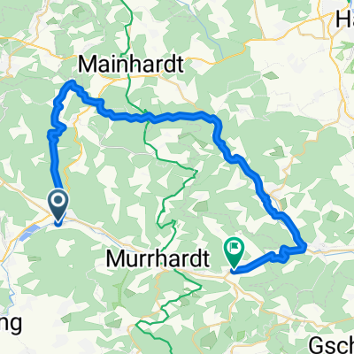
at Grab it's worth a detour to the reconstructed Limes Tower
- -:--
- Duration
- 52.8 km
- Distance
- 670 m
- Ascent
- 668 m
- Descent
- ---
- Avg. speed
- ---
- Max. altitude

Route quality
Waytypes & surfaces along the route
Waytypes
Quiet road
22.2 km
(42 %)
Track
16.9 km
(32 %)
Surfaces
Paved
26.9 km
(51 %)
Unpaved
11.6 km
(22 %)
Asphalt
24.3 km
(46 %)
Gravel
6.9 km
(13 %)
Continue with Bikemap
Use, edit, or download this cycling route
You would like to ride Schwäbischer Wald Sulzbach - Murrhadt or customize it for your own trip? Here is what you can do with this Bikemap route:
Free features
- Save this route as favorite or in collections
- Copy & plan your own version of this route
- Sync your route with Garmin or Wahoo
Premium features
Free trial for 3 days, or one-time payment. More about Bikemap Premium.
- Navigate this route on iOS & Android
- Export a GPX / KML file of this route
- Create your custom printout (try it for free)
- Download this route for offline navigation
Discover more Premium features.
Get Bikemap PremiumFrom our community
Other popular routes starting in Sulzbach an der Murr
 Große Rundfahrt Schwäbischer Wald
- Distance
- 139.8 km
- Ascent
- 2,217 m
- Descent
- 2,047 m
- Location
- Sulzbach an der Murr, Baden-Wurttemberg, Germany
 Sulzbach-Hammerschmiede-Gschwend-ret
- Distance
- 117.4 km
- Ascent
- 851 m
- Descent
- 851 m
- Location
- Sulzbach an der Murr, Baden-Wurttemberg, Germany
 Georg Farber Runde
- Distance
- 13.7 km
- Ascent
- 459 m
- Descent
- 465 m
- Location
- Sulzbach an der Murr, Baden-Wurttemberg, Germany
 Sulzbach/M.-Hammerschmiedesee-ret
- Distance
- 117.7 km
- Ascent
- 839 m
- Descent
- 839 m
- Location
- Sulzbach an der Murr, Baden-Wurttemberg, Germany
 Idyllische Strasse Nord-Teil -Sulzbach -Fichtenberg-Mainhardt-Sulzbach
- Distance
- 67.5 km
- Ascent
- 608 m
- Descent
- 598 m
- Location
- Sulzbach an der Murr, Baden-Wurttemberg, Germany
 Backnang
- Distance
- 135.3 km
- Ascent
- 1,129 m
- Descent
- 1,128 m
- Location
- Sulzbach an der Murr, Baden-Wurttemberg, Germany
 Tour 07 Radlergruppe 36km_Sulzbach-Fornsbach
- Distance
- 36.9 km
- Ascent
- 361 m
- Descent
- 314 m
- Location
- Sulzbach an der Murr, Baden-Wurttemberg, Germany
 Schwäbischer Wald Sulzbach - Murrhadt
- Distance
- 52.8 km
- Ascent
- 670 m
- Descent
- 668 m
- Location
- Sulzbach an der Murr, Baden-Wurttemberg, Germany
Open it in the app