Alte Wiese 20, Ennenda nach Oberblegi 1–3, Glarus Süd
- 11.7 km
- 1,039 m
- 80 m
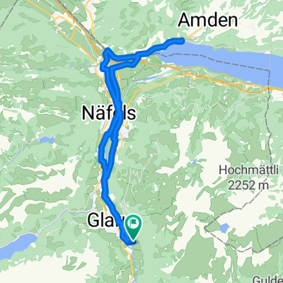
- Ennenda, Canton of Glarus, Switzerland
A cycling route starting in Ennenda, Canton of Glarus, Switzerland.
Overview
from Glarus to Zurich via the Sihl Valley to my favorite bike shop 'Stilrad' at the viaduct arches in the new Hard. Go to the viaduct market hall and enjoy a fine espresso with a super focaccia made with organic ingredients at Saltinbocca (just after the main entrance, 20 m left). Tip for the route: from the Altendorf fork, it goes quite steeply up the Etzelstrasse to the Stollenweg fork (200 hm in 3 km). Luckily, it doesn't take long, and it is definitely worth suffering a bit ;)
created this 12 years ago
Route quality
Quiet road
22.7 km
(28 %)
Road
19.4 km
(24 %)
Paved
62.4 km
(77 %)
Unpaved
7.3 km
(9 %)
Asphalt
58.3 km
(72 %)
Gravel
6.5 km
(8 %)
Continue with Bikemap
You would like to ride glarus-zürich via sihltal or customize it for your own trip? Here is what you can do with this Bikemap route:
Free trial for 3 days, or one-time payment. More about Bikemap Premium.
Discover more Premium features.
Get Bikemap PremiumFrom our community
Open it in the app