

test
A cycling route starting in Lostorf, Canton of Solothurn, Switzerland.
Overview
About this route
dddd
(cloned from route 2256278)- -:--
- Duration
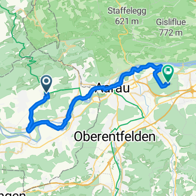
- 110.6 km
- Distance
- 2,051 m
- Ascent
- 2,036 m
- Descent
- ---
- Avg. speed
- ---
- Max. altitude
Route quality
Waytypes & surfaces along the route
Waytypes
Road
38.8 km
(35 %)
Busy road
27.8 km
(25 %)
Surfaces
Paved
67 km
(61 %)
Unpaved
10.2 km
(9 %)
Asphalt
61.8 km
(56 %)
Gravel
9.7 km
(9 %)
Continue with Bikemap
Use, edit, or download this cycling route
You would like to ride test or customize it for your own trip? Here is what you can do with this Bikemap route:
Free features
- Save this route as favorite or in collections
- Copy & plan your own version of this route
- Split it into stages to create a multi-day tour
- Sync your route with Garmin or Wahoo
Premium features
Free trial for 3 days, or one-time payment. More about Bikemap Premium.
- Navigate this route on iOS & Android
- Export a GPX / KML file of this route
- Create your custom printout (try it for free)
- Download this route for offline navigation
Discover more Premium features.
Get Bikemap PremiumFrom our community
Other popular routes starting in Lostorf
 Stüsslingen - Trimbach
- Distance
- 15.4 km
- Ascent
- 495 m
- Descent
- 481 m
- Location
- Lostorf, Canton of Solothurn, Switzerland
 Stüsslingen_Froburg
- Distance
- 12 km
- Ascent
- 435 m
- Descent
- 435 m
- Location
- Lostorf, Canton of Solothurn, Switzerland
 Aarewaldroute mal anders
- Distance
- 64.9 km
- Ascent
- 246 m
- Descent
- 247 m
- Location
- Lostorf, Canton of Solothurn, Switzerland
 Waldhütte bei Lostorf /Burg
- Distance
- 5.6 km
- Ascent
- 224 m
- Descent
- 48 m
- Location
- Lostorf, Canton of Solothurn, Switzerland
 Waldhütte Rupperswil
- Distance
- 22.4 km
- Ascent
- 25 m
- Descent
- 104 m
- Location
- Lostorf, Canton of Solothurn, Switzerland
 von Stüsslingen nach Wohlen
- Distance
- 31.7 km
- Ascent
- 203 m
- Descent
- 247 m
- Location
- Lostorf, Canton of Solothurn, Switzerland
 test
test- Distance
- 110.6 km
- Ascent
- 2,051 m
- Descent
- 2,036 m
- Location
- Lostorf, Canton of Solothurn, Switzerland
 Burgweid hinten umme
- Distance
- 18.3 km
- Ascent
- 670 m
- Descent
- 621 m
- Location
- Lostorf, Canton of Solothurn, Switzerland
Open it in the app