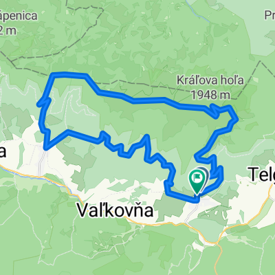
Telgárt, Telgárt až Telgárt, Telgárt
- 48.5 km
- 1,792 m
- 1,791 m
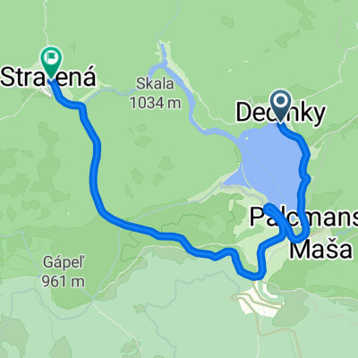
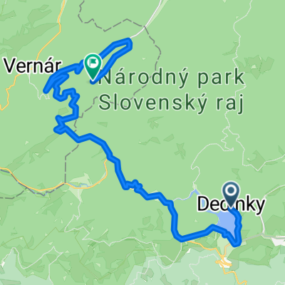
- Dobšiná, Košice Region, Slovakia
A cycling route starting in Dobšiná, Košice Region, Slovakia.
Overview
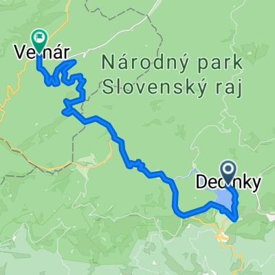
The route is suitable for race bike, but to get from Vernar to paved road on the other side of the hill is MTB terrain (not too long)
created this 12 years ago
Route quality
Road
20.6 km
(63 %)
Track
2.3 km
(7 %)
Paved
29.1 km
(89 %)
Unpaved
2.3 km
(7 %)
Asphalt
29.1 km
(89 %)
Ground
1.6 km
(5 %)
Continue with Bikemap
You would like to ride Vernar - Betlanovce - Vernar or customize it for your own trip? Here is what you can do with this Bikemap route:
Free trial for 3 days, or one-time payment. More about Bikemap Premium.
Discover more Premium features.
Get Bikemap PremiumFrom our community
Open it in the app