Jedlová - Weifberg Tanečnice - Dolský Mlýn
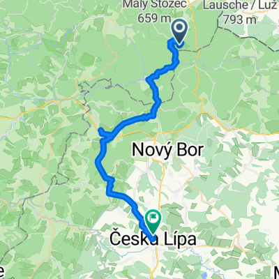
A cycling route starting in Dolní Podluží, Ústecký kraj, Czechia.
Overview
About this route
The total distance according to the cycle computer is 88 km. The clean time was 4:59 h. The total time is 5:15 h.
- -:--
- Duration
- 81.4 km
- Distance
- 969 m
- Ascent
- 1,372 m
- Descent
- ---
- Avg. speed
- ---
- Max. altitude
Continue with Bikemap
Use, edit, or download this cycling route
You would like to ride Jedlová - Weifberg Tanečnice - Dolský Mlýn or customize it for your own trip? Here is what you can do with this Bikemap route:
Free features
- Save this route as favorite or in collections
- Copy & plan your own version of this route
- Split it into stages to create a multi-day tour
- Sync your route with Garmin or Wahoo
Premium features
Free trial for 3 days, or one-time payment. More about Bikemap Premium.
- Navigate this route on iOS & Android
- Export a GPX / KML file of this route
- Create your custom printout (try it for free)
- Download this route for offline navigation
Discover more Premium features.
Get Bikemap PremiumFrom our community
Other popular routes starting in Dolní Podluží
SPOJBODY 2019- Distance
- 31.2 km
- Ascent
- 585 m
- Descent
- 585 m
- Location
- Dolní Podluží, Ústecký kraj, Czechia
Jedlova-Varnsdorf-Rumburk-Kyjov-Tokan-Vysoka Lipa-Hrensko-Decin- Distance
- 81.2 km
- Ascent
- 545 m
- Descent
- 875 m
- Location
- Dolní Podluží, Ústecký kraj, Czechia
Jedlová - Weifberg Tanečnice - Dolský Mlýn- Distance
- 81.4 km
- Ascent
- 969 m
- Descent
- 1,372 m
- Location
- Dolní Podluží, Ústecký kraj, Czechia
JELENKA 10000- Distance
- 380.4 km
- Ascent
- 6,318 m
- Descent
- 5,461 m
- Location
- Dolní Podluží, Ústecký kraj, Czechia
Recording from 17:33 25. Červen- Distance
- 25 km
- Ascent
- 570 m
- Descent
- 567 m
- Location
- Dolní Podluží, Ústecký kraj, Czechia
Malevil Cup 2018 45km- Distance
- 46.4 km
- Ascent
- 804 m
- Descent
- 806 m
- Location
- Dolní Podluží, Ústecký kraj, Czechia
Jedlová, Luž, Růžová a DC- Distance
- 74 km
- Ascent
- 940 m
- Descent
- 1,342 m
- Location
- Dolní Podluží, Ústecký kraj, Czechia
Okolo Horní Světlé- Distance
- 21.2 km
- Ascent
- 427 m
- Descent
- 428 m
- Location
- Dolní Podluží, Ústecký kraj, Czechia
Open it in the app


