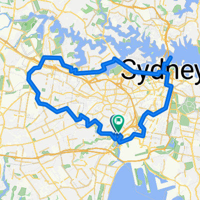
Tempe opera house Tempe
- 53.9 km
- 593 m
- 594 m
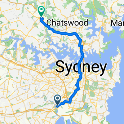
- Arncliffe, New South Wales, Australia
A cycling route starting in Arncliffe, New South Wales, Australia.
Overview
24/10/2013 12:25 pm
created this 12 years ago
Continue with Bikemap
You would like to ride Bondi Loop 2 or customize it for your own trip? Here is what you can do with this Bikemap route:
Free trial for 3 days, or one-time payment. More about Bikemap Premium.
Discover more Premium features.
Get Bikemap PremiumFrom our community
Open it in the app