

Hollabrunn-Fahndorf-Großweikersdorf-Hollabrunn
A cycling route starting in Hollabrunn, Lower Austria, Austria.
Overview
About this route
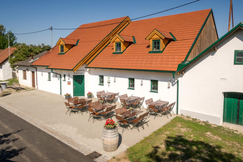
Von Hollabrunn über Oberfellabrunn-Groß bis Kleinstelzendorf. AM Ortsanfang Kleonstelzendorf links abbiegen und den Anstieg nehmen, wo wir kurzfristig ein kurzes Stück des MB3-Hollabrunn erreichen. Den Feldweg aber nach wenigen hundert Metern links Richtung Fahndorf verlassen. In Fahndorf bei der Kirche links den Asphaltweg nach Rohrbach nehemn. Durch Rohrbach hindurch erreicht man vor Glaubendorf den an der Schmida entlangführenden R 84 (843) dem wir nun bis Großweikersdorf folgen (Einkehrmöglichkeit abseits der Sztrecke in die Konditorei Burger im Einkaufszentrum). Weiters folgen wir dem R 840 nach Niederrußbach. Dort den Radweg verlassen und auf der Landesstraße nach Oberrußbach, Puch bis Kleedorf. Auf dem R 1 an der Kapelle vorbei fährt man nach Breitenwaida auf den "Rivaner". Einkehrmöglichkeit im GH Wasser direkt am Rivaner gelegen. Nach der Bahnübersetzung links dem Rivaner bis Hollabrunn folgen.
- -:--
- Duration
- 45.6 km
- Distance
- 264 m
- Ascent
- 266 m
- Descent
- ---
- Avg. speed
- ---
- Avg. speed
Route quality
Waytypes & surfaces along the route
Waytypes
Road
15.2 km
(33 %)
Quiet road
14.8 km
(33 %)
Surfaces
Paved
21.2 km
(47 %)
Unpaved
2.9 km
(6 %)
Asphalt
17.2 km
(38 %)
Paved (undefined)
3.6 km
(8 %)
Continue with Bikemap
Use, edit, or download this cycling route
You would like to ride Hollabrunn-Fahndorf-Großweikersdorf-Hollabrunn or customize it for your own trip? Here is what you can do with this Bikemap route:
Free features
- Save this route as favorite or in collections
- Copy & plan your own version of this route
- Sync your route with Garmin or Wahoo
Premium features
Free trial for 3 days, or one-time payment. More about Bikemap Premium.
- Navigate this route on iOS & Android
- Export a GPX / KML file of this route
- Create your custom printout (try it for free)
- Download this route for offline navigation
Discover more Premium features.
Get Bikemap PremiumFrom our community
Other popular routes starting in Hollabrunn
 Samstag: Suttenbrunn-Großwetzdorf-Straning-Sitzendorf a. d. Schmida
- Distance
- 71.9 km
- Ascent
- 704 m
- Descent
- 704 m
- Location
- Hollabrunn, Lower Austria, Austria
 Weinradroute - Rivaner
- Distance
- 60.5 km
- Ascent
- 580 m
- Descent
- 578 m
- Location
- Hollabrunn, Lower Austria, Austria
 Leichte Weinviertelrunde
- Distance
- 170.9 km
- Ascent
- 1,045 m
- Descent
- 1,045 m
- Location
- Hollabrunn, Lower Austria, Austria
 HOLLABRUNN MB 3
- Distance
- 30.2 km
- Ascent
- 449 m
- Descent
- 358 m
- Location
- Hollabrunn, Lower Austria, Austria
 Abendtour
- Distance
- 27.8 km
- Ascent
- 245 m
- Descent
- 253 m
- Location
- Hollabrunn, Lower Austria, Austria
 MTB Aspersdorf NF
- Distance
- 22.3 km
- Ascent
- 243 m
- Descent
- 242 m
- Location
- Hollabrunn, Lower Austria, Austria
 Freitag: Suttenbrunn - Znaim🇨🇿 - Hl. Stein -Retz - Sandberg
- Distance
- 90.9 km
- Ascent
- 884 m
- Descent
- 882 m
- Location
- Hollabrunn, Lower Austria, Austria
 Mittwoch: Kellertrift Heuriger Loiskandl
- Distance
- 13.5 km
- Ascent
- 85 m
- Descent
- 83 m
- Location
- Hollabrunn, Lower Austria, Austria
Open it in the app