

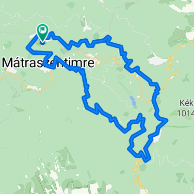
Hollókő
A cycling route starting in Bátonyterenye, Nógrád megye, Hungary.
Overview
About this route
We followed the National Blue Trail route to the Garábi Pass, and it is a tough route, not easy even on foot, but we don't regret it.
- -:--
- Duration
- 66.9 km
- Distance
- 838 m
- Ascent
- 838 m
- Descent
- ---
- Avg. speed
- ---
- Max. altitude

Continue with Bikemap
Use, edit, or download this cycling route
You would like to ride Hollókő or customize it for your own trip? Here is what you can do with this Bikemap route:
Free features
- Save this route as favorite or in collections
- Copy & plan your own version of this route
- Sync your route with Garmin or Wahoo
Premium features
Free trial for 3 days, or one-time payment. More about Bikemap Premium.
- Navigate this route on iOS & Android
- Export a GPX / KML file of this route
- Create your custom printout (try it for free)
- Download this route for offline navigation
Discover more Premium features.
Get Bikemap PremiumFrom our community
Other popular routes starting in Bátonyterenye
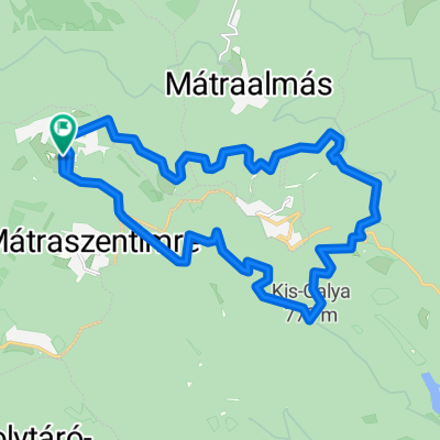
 princz
- Distance
- 37.7 km
- Ascent
- 610 m
- Descent
- 608 m
- Location
- Bátonyterenye, Nógrád megye, Hungary
 Camping ride
- Distance
- 25.3 km
- Ascent
- 194 m
- Descent
- 194 m
- Location
- Bátonyterenye, Nógrád megye, Hungary
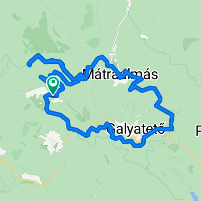 Mátra kiskör
- Distance
- 27.9 km
- Ascent
- 473 m
- Descent
- 467 m
- Location
- Bátonyterenye, Nógrád megye, Hungary
 Sámsonháza
- Distance
- 37.9 km
- Ascent
- 207 m
- Descent
- 207 m
- Location
- Bátonyterenye, Nógrád megye, Hungary
 Bochidi erdészház
- Distance
- 32.3 km
- Ascent
- 363 m
- Descent
- 360 m
- Location
- Bátonyterenye, Nógrád megye, Hungary
 Kellemes 20 km
- Distance
- 20.2 km
- Ascent
- 310 m
- Descent
- 310 m
- Location
- Bátonyterenye, Nógrád megye, Hungary
 Kis edzés a Mátra északi lábánál I.
- Distance
- 54 km
- Ascent
- 532 m
- Descent
- 532 m
- Location
- Bátonyterenye, Nógrád megye, Hungary
 scele50
- Distance
- 46.3 km
- Ascent
- 1,332 m
- Descent
- 1,330 m
- Location
- Bátonyterenye, Nógrád megye, Hungary
Open it in the app