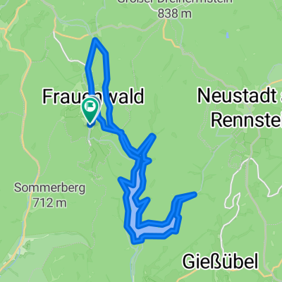

Rund um die Talsperre Schönbrunn
- 16.3 km
- 474 m
- 463 m
- Frauenwald, Thuringia, Germany
A cycling route starting in Frauenwald, Thuringia, Germany.
Overview
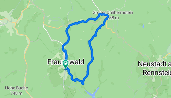
Frauenwald - Bäckerberg - Vorstau - Dreiherrenstein - Allzunah - Frauenwald
Route quality
Track
9.1 km
(76 %)
Quiet road
1.4 km
(12 %)
Paved
0.8 km
(7 %)
Unpaved
10.1 km
(84 %)
Gravel
6.2 km
(52 %)
Loose gravel
2.5 km
(21 %)
Continue with Bikemap
You would like to ride Talsperre/Dreiherrenstein or customize it for your own trip? Here is what you can do with this Bikemap route:
Free trial for 3 days, or one-time payment. More about Bikemap Premium.
Discover more Premium features.
Get Bikemap PremiumFrom our community
Open it in the app