

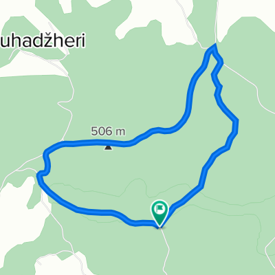
biciklisticka staza stovrela
A cycling route starting in Cazin, Federation of Bosnia and Herzegovina, Bosnia and Herzegovina.
Overview
About this route
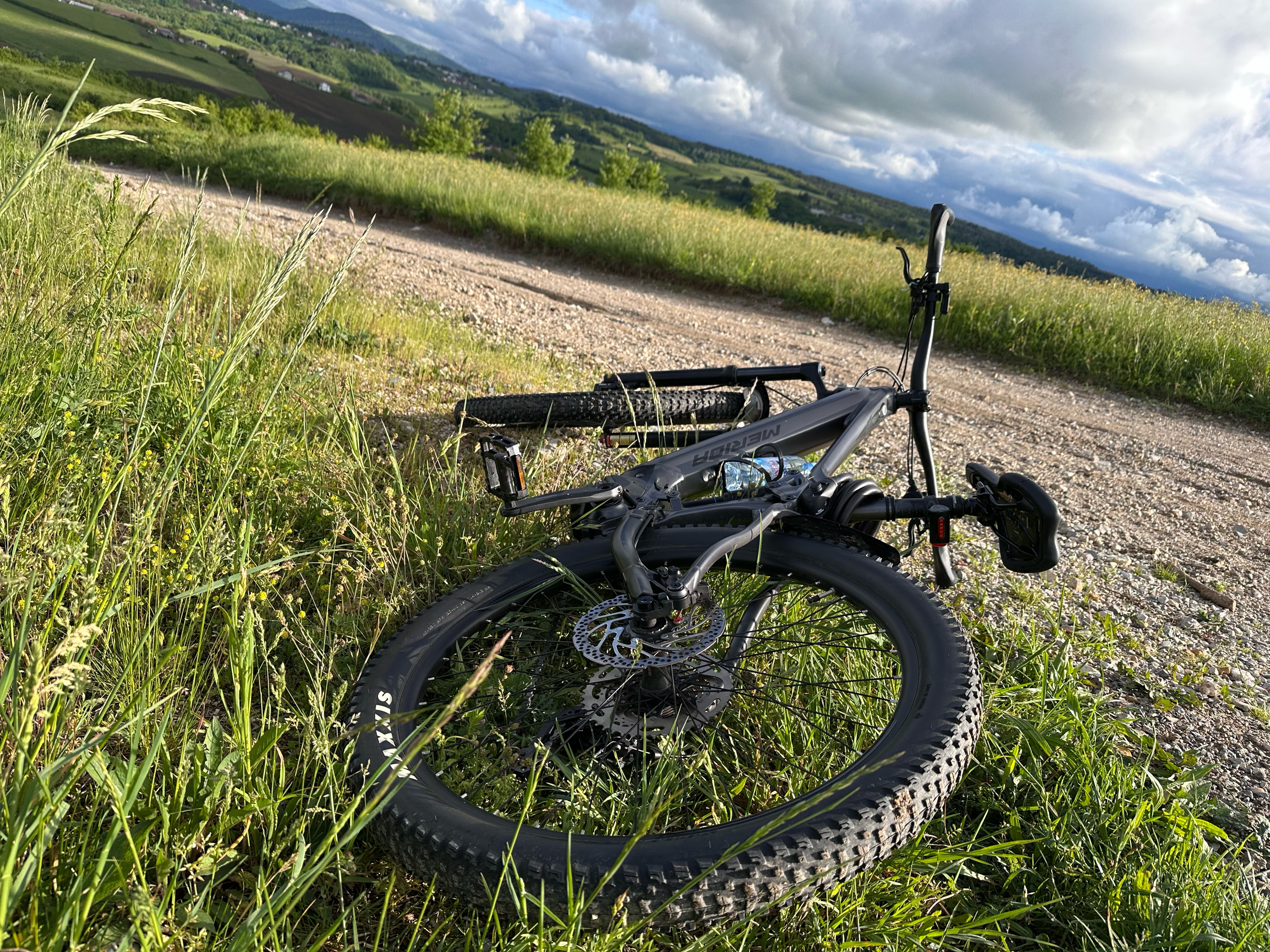
Forest trail with beautiful paths
- -:--
- Duration
- 5.3 km
- Distance
- 171 m
- Ascent
- 171 m
- Descent
- ---
- Avg. speed
- ---
- Max. altitude

Route quality
Waytypes & surfaces along the route
Waytypes
Quiet road
2.6 km
(50 %)
Path
2.6 km
(50 %)
Surfaces
Unpaved
5.1 km
(97 %)
Ground
2.6 km
(50 %)
Gravel
2.5 km
(47 %)
Undefined
0.2 km
(3 %)
Route highlights
Points of interest along the route
Point of interest after 0 km
motel stovrela
Continue with Bikemap
Use, edit, or download this cycling route
You would like to ride biciklisticka staza stovrela or customize it for your own trip? Here is what you can do with this Bikemap route:
Free features
- Save this route as favorite or in collections
- Copy & plan your own version of this route
- Sync your route with Garmin or Wahoo
Premium features
Free trial for 3 days, or one-time payment. More about Bikemap Premium.
- Navigate this route on iOS & Android
- Export a GPX / KML file of this route
- Create your custom printout (try it for free)
- Download this route for offline navigation
Discover more Premium features.
Get Bikemap PremiumFrom our community
Other popular routes starting in Cazin
 Usamljena kuća - KRUG
- Distance
- 19.3 km
- Ascent
- 328 m
- Descent
- 293 m
- Location
- Cazin, Federation of Bosnia and Herzegovina, Bosnia and Herzegovina
 5. korpusa, Cazin to 5. korpusa, Cazin
- Distance
- 43.8 km
- Ascent
- 447 m
- Descent
- 443 m
- Location
- Cazin, Federation of Bosnia and Herzegovina, Bosnia and Herzegovina
 Cazin - Miostrah - Cazin
- Distance
- 29.3 km
- Ascent
- 410 m
- Descent
- 399 m
- Location
- Cazin, Federation of Bosnia and Herzegovina, Bosnia and Herzegovina
 Gnjilavac-Ostrozac-Miostrah-Stijena-Podgredina-Jezerski-Pistaline-Orascani-Silici-Basce-Gnjilavac
- Distance
- 58.8 km
- Ascent
- 1,419 m
- Descent
- 1,416 m
- Location
- Cazin, Federation of Bosnia and Herzegovina, Bosnia and Herzegovina
 sumska ruta
- Distance
- 24.4 km
- Ascent
- 480 m
- Descent
- 409 m
- Location
- Cazin, Federation of Bosnia and Herzegovina, Bosnia and Herzegovina
 Cazin(restoran Papilon)-Hairlahov.brdo-Koprivna-Krecane-Koliste
- Distance
- 17.5 km
- Ascent
- 437 m
- Descent
- 439 m
- Location
- Cazin, Federation of Bosnia and Herzegovina, Bosnia and Herzegovina
 biciklisticka staza stovrela
- Distance
- 5.3 km
- Ascent
- 171 m
- Descent
- 171 m
- Location
- Cazin, Federation of Bosnia and Herzegovina, Bosnia and Herzegovina
 Gemütliche Fahrt
- Distance
- 53.2 km
- Ascent
- 588 m
- Descent
- 638 m
- Location
- Cazin, Federation of Bosnia and Herzegovina, Bosnia and Herzegovina
Open it in the app