

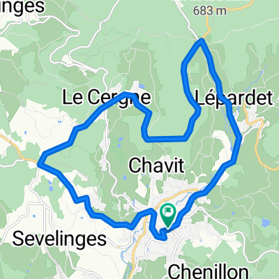
Circuit en bourgogne sud
A cycling route starting in Cours-la-Ville, Auvergne-Rhône-Alpes, France.
Overview
About this route
Circuit in Southern Burgundy
- -:--
- Duration
- 244.8 km
- Distance
- 1,505 m
- Ascent
- 1,504 m
- Descent
- ---
- Avg. speed
- ---
- Max. altitude
Route quality
Waytypes & surfaces along the route
Waytypes
Road
26.9 km
(11 %)
Quiet road
14.7 km
(6 %)
Surfaces
Paved
85.7 km
(35 %)
Asphalt
85.7 km
(35 %)
Undefined
159.1 km
(65 %)
Route highlights
Points of interest along the route

Point of interest after 29 km
A voir : Château et plan d'eau de La Clayette.

Point of interest after 58.5 km
A voir : Château de Digoine (possibilité de visite)

Point of interest after 61.5 km
Aire camping car au bord du canal du centre.

Point of interest after 108.5 km
Parc d'attraction, petit train et aire de camping car.

Point of interest after 115.4 km
Etang de Torcy

Point of interest after 142.8 km
Buxy village médiéval.

Point of interest after 158.6 km
Saint Gengoux le National, village médiéval, piste cyclable "la voie verte" et aire de camping car.

Point of interest after 168.6 km
Chateau de Cormatin (possibilité de visite)

Point of interest after 181.1 km
Cluny l'abbaye (possibilité de visite) rues piétones dans le village, voie verte, aire de camping car.
Continue with Bikemap
Use, edit, or download this cycling route
You would like to ride Circuit en bourgogne sud or customize it for your own trip? Here is what you can do with this Bikemap route:
Free features
- Save this route as favorite or in collections
- Copy & plan your own version of this route
- Split it into stages to create a multi-day tour
- Sync your route with Garmin or Wahoo
Premium features
Free trial for 3 days, or one-time payment. More about Bikemap Premium.
- Navigate this route on iOS & Android
- Export a GPX / KML file of this route
- Create your custom printout (try it for free)
- Download this route for offline navigation
Discover more Premium features.
Get Bikemap PremiumFrom our community
Other popular routes starting in Cours-la-Ville
 cours - laprugne
- Distance
- 79.6 km
- Ascent
- 998 m
- Descent
- 909 m
- Location
- Cours-la-Ville, Auvergne-Rhône-Alpes, France
 Circuit Grand Prix de Cours La Ville
- Distance
- 14.5 km
- Ascent
- 315 m
- Descent
- 315 m
- Location
- Cours-la-Ville, Auvergne-Rhône-Alpes, France
 Sortie Camping car Saône et Loire
- Distance
- 264.1 km
- Ascent
- 1,871 m
- Descent
- 1,870 m
- Location
- Cours-la-Ville, Auvergne-Rhône-Alpes, France
 Toul Le-Puy Etappe 7 Proprières Renaison
- Distance
- 58.3 km
- Ascent
- 429 m
- Descent
- 855 m
- Location
- Cours-la-Ville, Auvergne-Rhône-Alpes, France
 De Rue de la Cîme de Cours 447 à Rue de la Cîme de Cours 447
- Distance
- 61 km
- Ascent
- 682 m
- Descent
- 726 m
- Location
- Cours-la-Ville, Auvergne-Rhône-Alpes, France
 Cours la Ville/Hérisson 03
- Distance
- 155.5 km
- Ascent
- 580 m
- Descent
- 927 m
- Location
- Cours-la-Ville, Auvergne-Rhône-Alpes, France
 theo, martin
- Distance
- 16.6 km
- Ascent
- 574 m
- Descent
- 545 m
- Location
- Cours-la-Ville, Auvergne-Rhône-Alpes, France
 Circuit en bourgogne sud
- Distance
- 244.8 km
- Ascent
- 1,505 m
- Descent
- 1,504 m
- Location
- Cours-la-Ville, Auvergne-Rhône-Alpes, France
Open it in the app