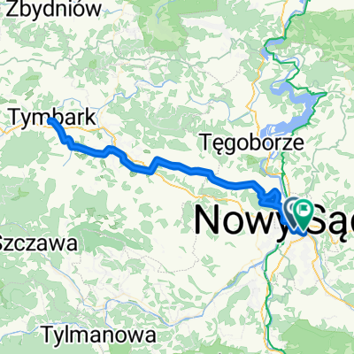
Browarna, Nowy Sącz do Browarna, Nowy Sącz
- 15.7 km
- 49 m
- 52 m
- Nowy Sącz, Lesser Poland Voivodeship, Poland
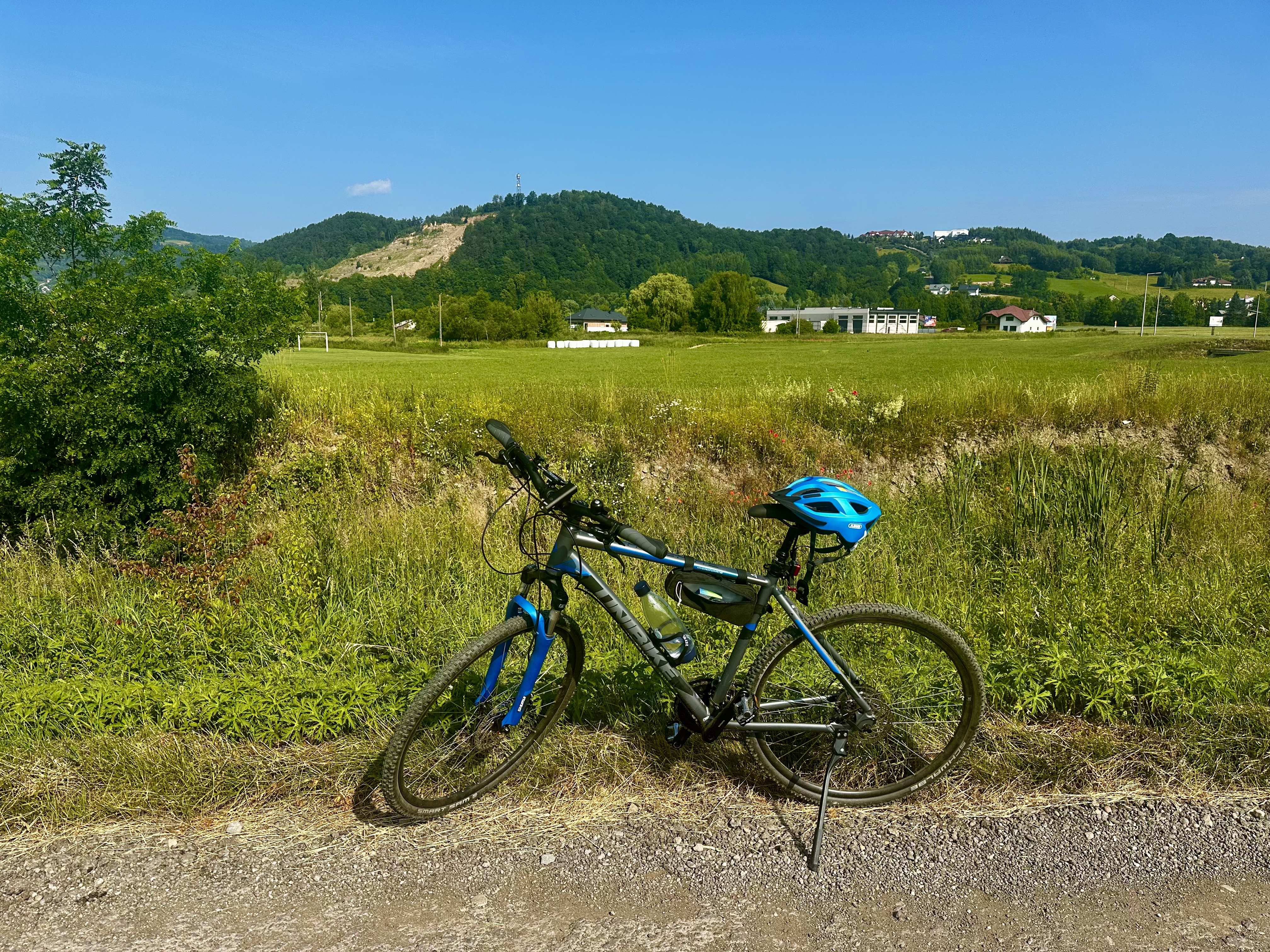
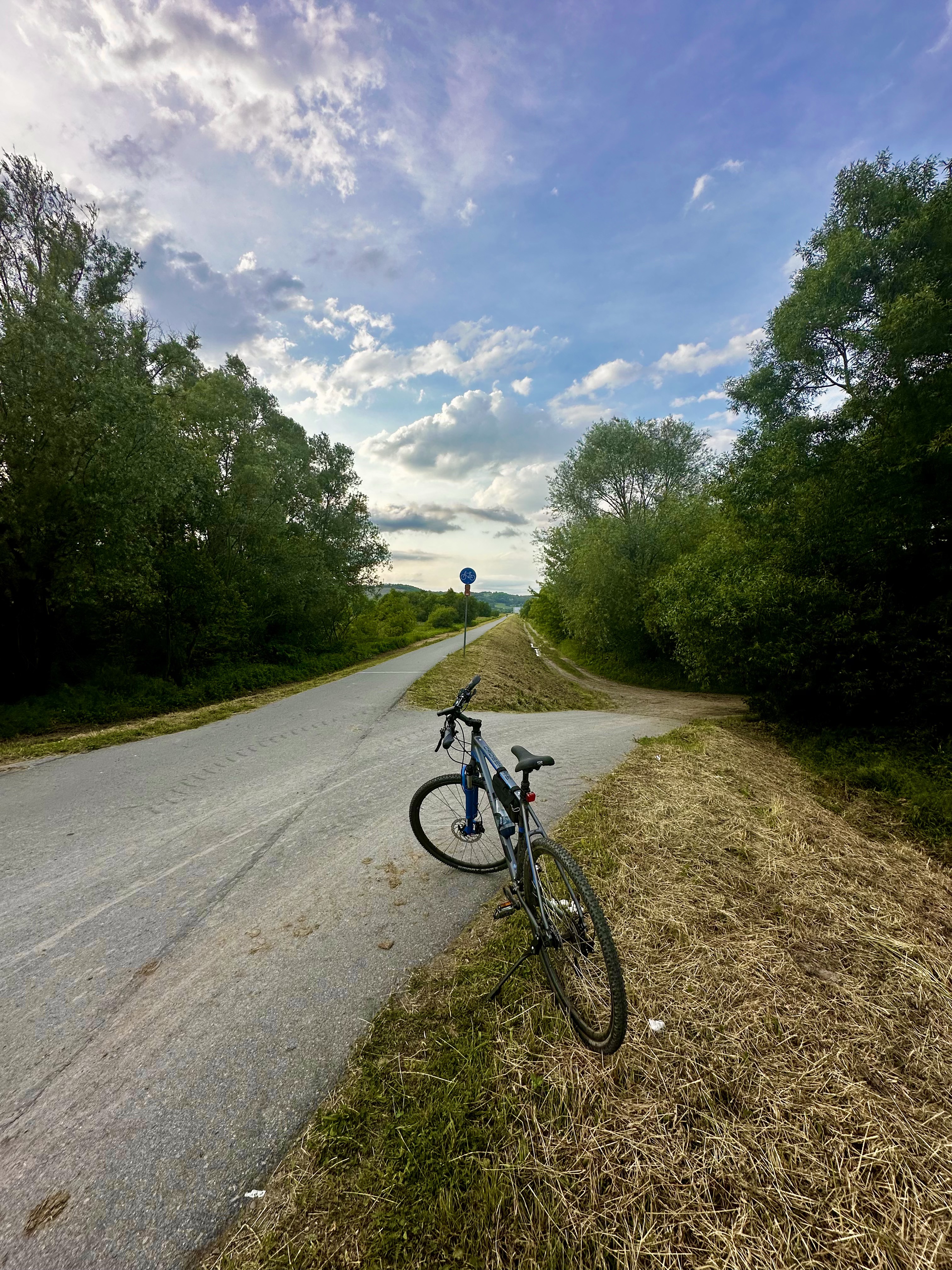
A cycling route starting in Nowy Sącz, Lesser Poland Voivodeship, Poland.
Overview
Trip Around Lake Rożnowskie (Full-day Trip) The route starts from the Sądecki market square. We take Tarnowska Street towards Dąbrowa, where we turn off the main road towards Gródek nad Dunajcem. Riding on road 975, after the LPG station, we turn towards Zbyszyce to a viewpoint. [] Then we return to the main road and descend to Gródek nad Dunajcem. In Rożnów, optionally, we can go to the dam or turn right immediately towards Tropie. We stop briefly at the church in Tropie. [] Then we cross the pedestrian bridge over road DK75 towards Wytrzyszczka. At the castle level, we turn left onto the road to Iwkowa. A short stop at the viewpoint in Połom Mały. [] We descend to Łososina Dolna via the blue, then red and black cycling routes. We head towards Nowy Sącz, but after the bridge over the Łososina, we turn left to Bilsko. Following the blue cycling trail, we climb to the junction under the school, where we turn left to Tabaszowa. [] From there, we descend through Znamirowice to Tęgoborze. We cross road DK75 towards Wronowice, but in Świdnik, we turn towards Chomranice. Then, via Marcinkowice [] and Rdziostów, we reach Jagodowa Street in Nowy Sącz. From there, we take Dunajcowa Street back to the Market Square. [End] [] - stop
created this 12 years ago
Route quality
Road
33.9 km
(37 %)
Quiet road
28.4 km
(31 %)
Paved
72.3 km
(79 %)
Unpaved
0.9 km
(1 %)
Asphalt
72.3 km
(79 %)
Ground
0.9 km
(1 %)
Undefined
18.3 km
(20 %)
Continue with Bikemap
You would like to ride Dookoła Jeziora Rożnowskiego or customize it for your own trip? Here is what you can do with this Bikemap route:
Free trial for 3 days, or one-time payment. More about Bikemap Premium.
Discover more Premium features.
Get Bikemap PremiumFrom our community
Open it in the app