tdsxd
- 18.8 km
- 623 m
- 697 m
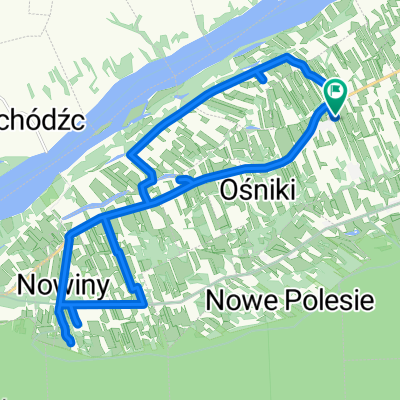
- Zakroczym, Masovian Voivodeship, Poland
A cycling route starting in Zakroczym, Masovian Voivodeship, Poland.
Overview
I drove to the place by car. Supposedly it's the same forest as the eastern part, supposedly the same woods, but at the same time completely different, more atmospheric. According to the odometer, 23 km.
created this 12 years ago
Continue with Bikemap
You would like to ride 2013.11.10- Stara Dąbrowa- Tańczący Bór- Cisowe- Stara Dąbrowa or customize it for your own trip? Here is what you can do with this Bikemap route:
Free trial for 3 days, or one-time payment. More about Bikemap Premium.
Discover more Premium features.
Get Bikemap PremiumFrom our community
Open it in the app