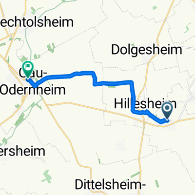
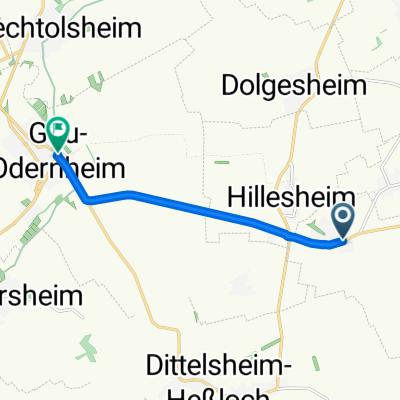
Alzeyer Hügelland und Rheinhh. Schweiz
- 87.7 km
- 859 m
- 857 m
- Dorn-Dürkheim, Rhineland-Palatinate, Germany
A cycling route starting in Dorn-Dürkheim, Rhineland-Palatinate, Germany.
Overview
created this 16 years ago
Route quality
Road
29.8 km
(34 %)
Track
7.9 km
(9 %)
Paved
74.6 km
(85 %)
Unpaved
4.4 km
(5 %)
Asphalt
71 km
(81 %)
Ground
3.5 km
(4 %)
Continue with Bikemap
You would like to ride Alzeyer Hügelland und Rheinhh. Schweiz or customize it for your own trip? Here is what you can do with this Bikemap route:
Free trial for 3 days, or one-time payment. More about Bikemap Premium.
Discover more Premium features.
Get Bikemap PremiumFrom our community
Open it in the app