De Calle 61 Norte 16-23, Popayán a Calle 61 Norte 16-23, Popayán
- 35 km
- 684 m
- 685 m
- Popayán, Cauca Department, Colombia
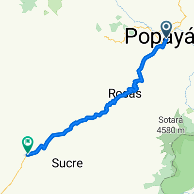
A cycling route starting in Popayán, Cauca Department, Colombia.
Overview
81 km El Boldo, 219 km Chachagüi, 246 km Pasto, 274 km Tangua, 314 km San Juan de Espaňa.
created this 12 years ago
Continue with Bikemap
You would like to ride popayan-ipiales or customize it for your own trip? Here is what you can do with this Bikemap route:
Free trial for 3 days, or one-time payment. More about Bikemap Premium.
Discover more Premium features.
Get Bikemap PremiumFrom our community
Open it in the app