
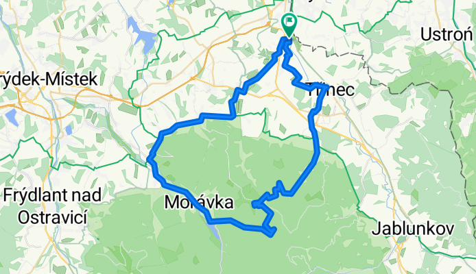
Ropice 1082,5
A cycling route starting in Puńców, Silesian Voivodeship, Poland.
Overview
About this route
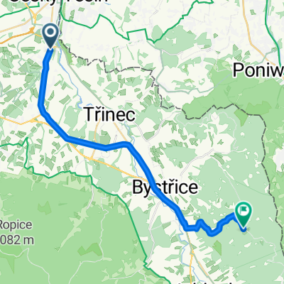
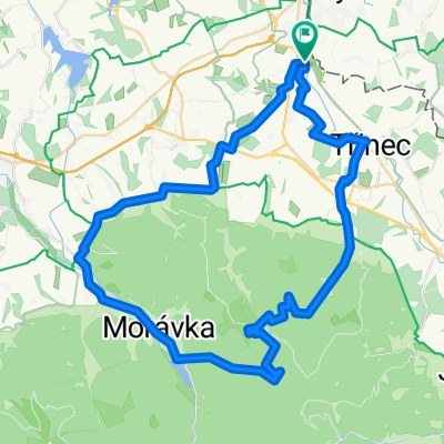
Początek i koniec trasy przy stacji kol. Ropice zastavka.
Przez Smilovice i Komorni Lhotke do Moravki i doliną potoku Slavić. Dalej skręt w lewo w miejscu gdzie wpada potok Blatny (jest tam też otwarty szlaban i ambona). Wygodną szeroką stokówką do miejsca zwanego U Ćesnećky (leśniczówka ze źródełkiem) a potem trochę stromiej w górę do czerwonego szlaku i na szczyt szeroką przecinką. Grzbietem zjeżdżamy do skrzyżowania szlaków: Rozcesti-Śindelna. Z tego miejsca leśną ścieżką w lewo i przez las po chwili szerszą ścieżką potem szutrówką aż w końcu asfaltem do Planej doliny i do Tyry. Dalsza część trasy prowadzi przez Trinec, Kanade, Konską do Ropic- -:--
- Duration
- 60.4 km
- Distance
- 940 m
- Ascent
- 940 m
- Descent
- ---
- Avg. speed
- ---
- Avg. speed

Route quality
Waytypes & surfaces along the route
Waytypes
Quiet road
20.2 km
(33 %)
Road
14.6 km
(24 %)
Surfaces
Paved
29.1 km
(48 %)
Unpaved
2.3 km
(4 %)
Asphalt
25.7 km
(43 %)
Paved (undefined)
3.4 km
(6 %)
Route highlights
Points of interest along the route
Point of interest after 31.7 km
Leśna studzienka + miejsce na odpoczynek
Continue with Bikemap
Use, edit, or download this cycling route
You would like to ride Ropice 1082,5 or customize it for your own trip? Here is what you can do with this Bikemap route:
Free features
- Save this route as favorite or in collections
- Copy & plan your own version of this route
- Sync your route with Garmin or Wahoo
Premium features
Free trial for 3 days, or one-time payment. More about Bikemap Premium.
- Navigate this route on iOS & Android
- Export a GPX / KML file of this route
- Create your custom printout (try it for free)
- Download this route for offline navigation
Discover more Premium features.
Get Bikemap PremiumFrom our community
Other popular routes starting in Puńców
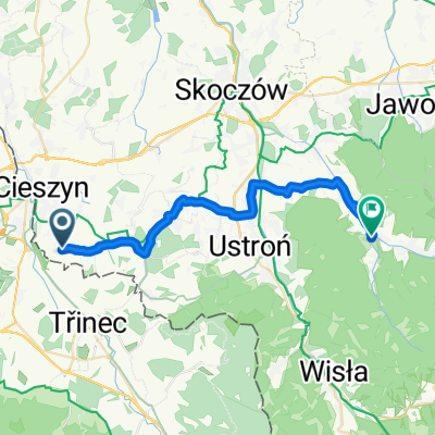 puńców brenna
- Distance
- 25.9 km
- Ascent
- 278 m
- Descent
- 167 m
- Location
- Puńców, Silesian Voivodeship, Poland
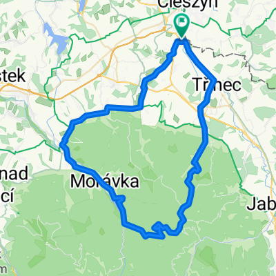 Kałużny Wierch & Slawicz
- Distance
- 61.4 km
- Ascent
- 825 m
- Descent
- 825 m
- Location
- Puńców, Silesian Voivodeship, Poland
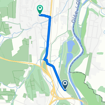 Obnovená trasa
- Distance
- 2.1 km
- Ascent
- 10 m
- Descent
- 27 m
- Location
- Puńców, Silesian Voivodeship, Poland
 Filipka
- Distance
- 22.5 km
- Ascent
- 563 m
- Descent
- 94 m
- Location
- Puńców, Silesian Voivodeship, Poland
 cieszyn-ostry-nydek-budzin-cieszyn
- Distance
- 57.4 km
- Ascent
- 1,091 m
- Descent
- 1,091 m
- Location
- Puńców, Silesian Voivodeship, Poland
 Cieszyn-Bielsko
- Distance
- 37 km
- Ascent
- 352 m
- Descent
- 367 m
- Location
- Puńców, Silesian Voivodeship, Poland
 saa asaa
- Distance
- 9.2 km
- Ascent
- 161 m
- Descent
- 167 m
- Location
- Puńców, Silesian Voivodeship, Poland
 Ropice 1082,5
- Distance
- 60.4 km
- Ascent
- 940 m
- Descent
- 940 m
- Location
- Puńców, Silesian Voivodeship, Poland
Open it in the app