
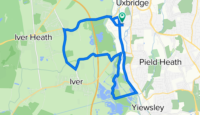
Canal path loop
A cycling route starting in Uxbridge, England, United Kingdom.
Overview
About this route
Short loop around the uxbridge canal area, moslty cycle paths, some cycle friendly roads
- -:--
- Duration
- 11.9 km
- Distance
- 45 m
- Ascent
- 45 m
- Descent
- ---
- Avg. speed
- ---
- Max. altitude
Continue with Bikemap
Use, edit, or download this cycling route
You would like to ride Canal path loop or customize it for your own trip? Here is what you can do with this Bikemap route:
Free features
- Save this route as favorite or in collections
- Copy & plan your own version of this route
- Sync your route with Garmin or Wahoo
Premium features
Free trial for 3 days, or one-time payment. More about Bikemap Premium.
- Navigate this route on iOS & Android
- Export a GPX / KML file of this route
- Create your custom printout (try it for free)
- Download this route for offline navigation
Discover more Premium features.
Get Bikemap PremiumFrom our community
Other popular routes starting in Uxbridge
 Quick blast out
- Distance
- 25 km
- Ascent
- 111 m
- Descent
- 109 m
- Location
- Uxbridge, England, United Kingdom
 UXBRIDGE TO READING
- Distance
- 91.1 km
- Ascent
- 333 m
- Descent
- 312 m
- Location
- Uxbridge, England, United Kingdom
 176–190 High St, Uxbridge to 176–190 High St, Uxbridge
- Distance
- 32.8 km
- Ascent
- 105 m
- Descent
- 105 m
- Location
- Uxbridge, England, United Kingdom
 wed 12 Nov ride
- Distance
- 84.2 km
- Ascent
- 691 m
- Descent
- 660 m
- Location
- Uxbridge, England, United Kingdom
 HILLINGDON TO LONDON
- Distance
- 66.2 km
- Ascent
- 179 m
- Descent
- 179 m
- Location
- Uxbridge, England, United Kingdom
 Windsor Brunel
- Distance
- 32.4 km
- Ascent
- 88 m
- Descent
- 87 m
- Location
- Uxbridge, England, United Kingdom
 35 Miles
- Distance
- 55.8 km
- Ascent
- 162 m
- Descent
- 161 m
- Location
- Uxbridge, England, United Kingdom
 figure of eight
- Distance
- 68.1 km
- Ascent
- 153 m
- Descent
- 152 m
- Location
- Uxbridge, England, United Kingdom
Open it in the app