

Albsteig - EFI Modus
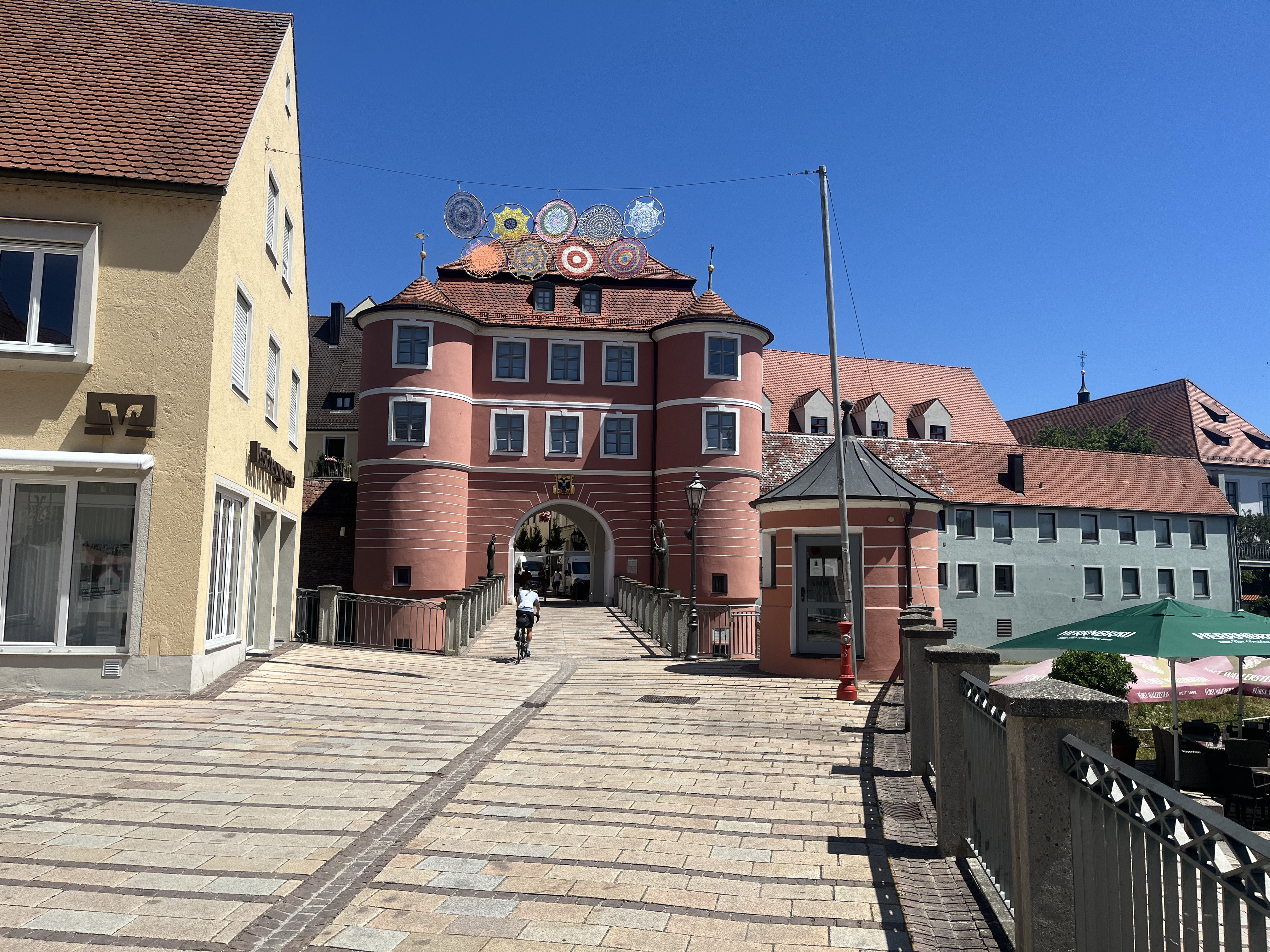
A cycling route starting in Donauwörth, Bavaria, Germany.
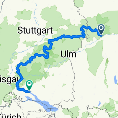
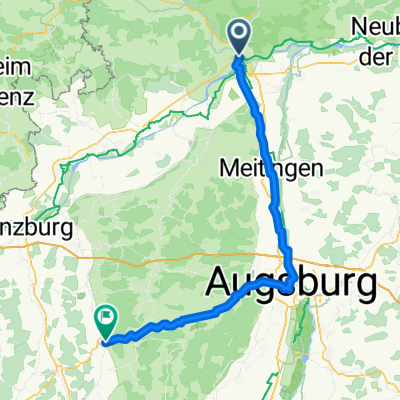
Overview
About this route
Der von Marketing-Experten so benamte Albsteig aus eigener Kraft - komplett ohne Zuhilfenahme von KFZ. Ausgangspunkt RT. 3 Transfers als Zugfahrt von / nach Donauwörth, Hechingen, Tuttlingen.
EFI bedeutet bekanntlich 'every fucking inch'. Es gab also keinerlei Abkürzungen oder Umwege zur Erleichterung der Aufstiege. Wo die Route versehentlich doer absichtlich verlassen wurde, dort musste sie nach Retour-Bewegungen wieder aufgenommen werden.
3 Sperrungen wegen abgerutschter Wege und 1 Sperrung wegen Baumfällarbeiten haben Abweichungen von der SAV-Original-Route (gpx-track Stand 2013-05) unvermeidlich gemacht.
Ab der Landesgrenze Baden-Württemberg müssen sämtliche Wegteile, welche im Wald verlaufen UND eine Breite <2m aufweisen, wegen eines sehr speziell eingerichteten Waldgesetzes geschoben werden. Die Wegbreite wechselt allerdings oft unvermittelt und ist aus den Karten keinesfalls sicher erkennbar. Auch direkt vor Ort ist sie wg. Laub u.dgl. oft nicht eindeutig bestimmbar. Hier hilft nur das richtige Augenmass.
- -:--
- Duration
- 693.5 km
- Distance
- 3,603 m
- Ascent
- 3,362 m
- Descent
- ---
- Avg. speed
- ---
- Max. altitude

Route highlights
Points of interest along the route

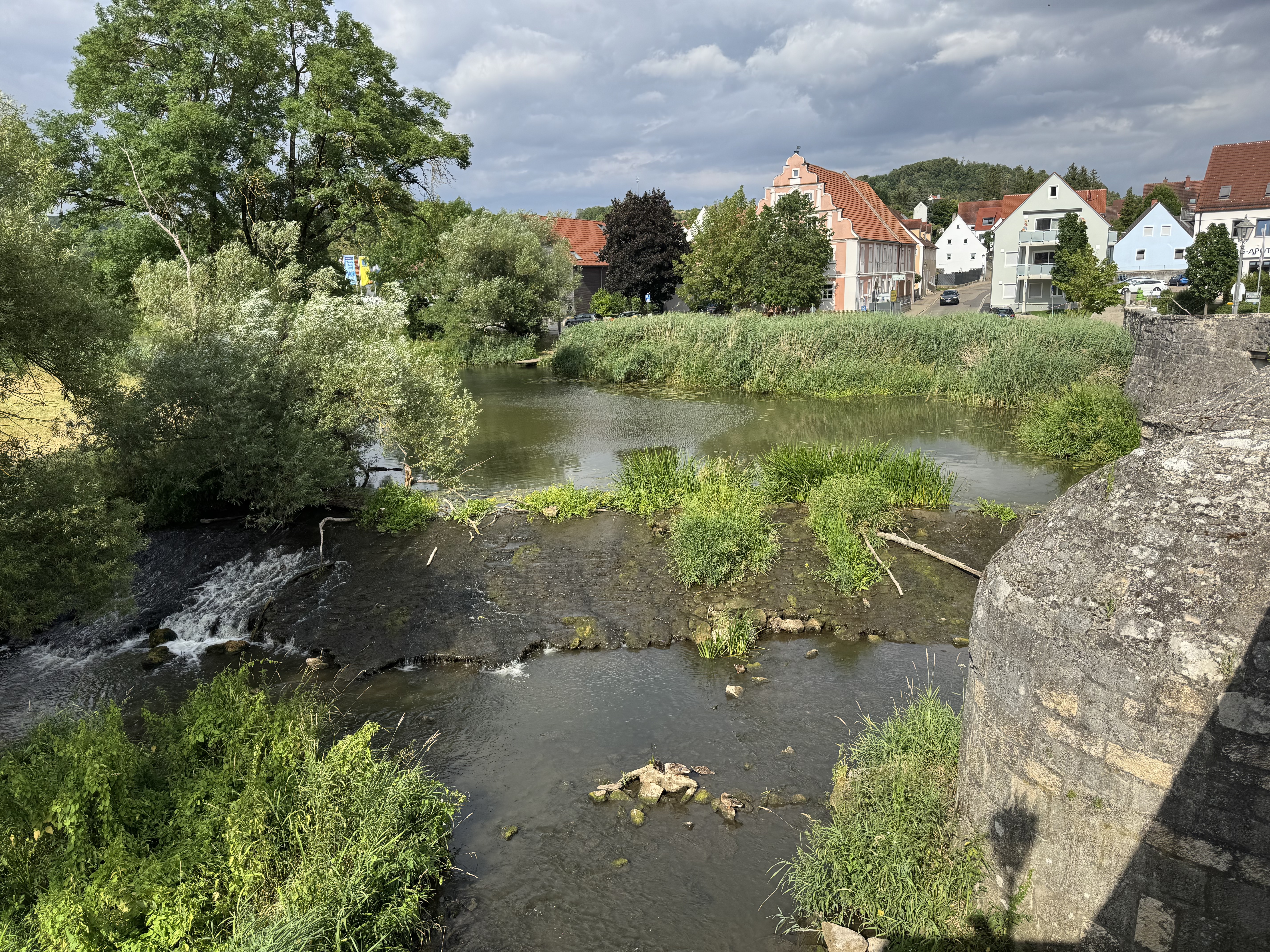
Point of interest after 52.4 km
SAV Wegmarkierung unverfaelscht
Continue with Bikemap
Use, edit, or download this cycling route
You would like to ride Albsteig - EFI Modus or customize it for your own trip? Here is what you can do with this Bikemap route:
Free features
- Save this route as favorite or in collections
- Copy & plan your own version of this route
- Split it into stages to create a multi-day tour
- Sync your route with Garmin or Wahoo
Premium features
Free trial for 3 days, or one-time payment. More about Bikemap Premium.
- Navigate this route on iOS & Android
- Export a GPX / KML file of this route
- Create your custom printout (try it for free)
- Download this route for offline navigation
Discover more Premium features.
Get Bikemap PremiumFrom our community
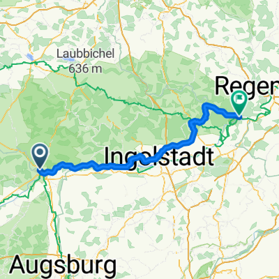
Other popular routes starting in Donauwörth
 Hindenburgstraße, Donauwörth to Baldinger Straße, Nördlingen
- Distance
- 35.7 km
- Ascent
- 190 m
- Descent
- 161 m
- Location
- Donauwörth, Bavaria, Germany
 SARadwag
- Distance
- 422.6 km
- Ascent
- 6,973 m
- Descent
- 6,977 m
- Location
- Donauwörth, Bavaria, Germany
 Donauwörth - Stadtbergen
- Distance
- 53.5 km
- Ascent
- 142 m
- Descent
- 54 m
- Location
- Donauwörth, Bavaria, Germany
 Vorschlag Tag 4 August 2025
- Distance
- 86.5 km
- Ascent
- 424 m
- Descent
- 330 m
- Location
- Donauwörth, Bavaria, Germany
 E6. 10.7.25 Donauwörth nach Ingolstadt
- Distance
- 78.1 km
- Ascent
- 245 m
- Descent
- 332 m
- Location
- Donauwörth, Bavaria, Germany
 Bahnhofstraße, Donauwörth to Mündlinger Straße, Harburg
- Distance
- 15.5 km
- Ascent
- 136 m
- Descent
- 109 m
- Location
- Donauwörth, Bavaria, Germany
 Donauwurth - Kelheim
- Distance
- 116.7 km
- Ascent
- 751 m
- Descent
- 805 m
- Location
- Donauwörth, Bavaria, Germany
 Via Claudia Augusta: Donauwörth (Germany) - Bolzano (Italy)
- Distance
- 431 km
- Ascent
- 4,558 m
- Descent
- 4,686 m
- Location
- Donauwörth, Bavaria, Germany
Open it in the app