perth - broken hill ,rail track and road 1988
- 2,747 km
- 1,493 m
- 1,215 m
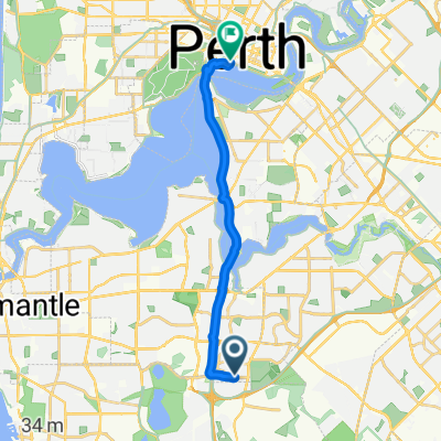
- City of Cockburn, Western Australia, Australia
A cycling route starting in City of Cockburn, Western Australia, Australia.
Overview
had planned this trip a couple of years after reading a book on the stock route ,while in nepal decided I had time after the pakistan / nepal tour , so flew to perth, part of this route was sand in places, very few people, mostly bore water, took 6 weeks , met a japanese cyclist travelling north south camped the night and he planted the idea of my later cycling the rail line west - east, but planted the idea for my later trip , caught bus's back from halls creek
created this 12 years ago
Continue with Bikemap
You would like to ride perth - halls creek 1982, via cannning and wolfe creater or customize it for your own trip? Here is what you can do with this Bikemap route:
Free trial for 3 days, or one-time payment. More about Bikemap Premium.
Discover more Premium features.
Get Bikemap PremiumFrom our community
Open it in the app