

15. Tag C2C Liberal - Dodge City,KS
A cycling route starting in Liberal, Kansas, United States of America.
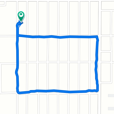
Overview
About this route
Zunächst eine Regenfahrt, später zumindest von oben trocken ducrh flaches Prairieland gefahren
- -:--
- Duration
- 133.6 km
- Distance
- 171 m
- Ascent
- 276 m
- Descent
- ---
- Avg. speed
- ---
- Max. altitude

Route highlights
Points of interest along the route

Photo after 132.9 km

Photo after 133.2 km
Continue with Bikemap
Use, edit, or download this cycling route
You would like to ride 15. Tag C2C Liberal - Dodge City,KS or customize it for your own trip? Here is what you can do with this Bikemap route:
Free features
- Save this route as favorite or in collections
- Copy & plan your own version of this route
- Split it into stages to create a multi-day tour
- Sync your route with Garmin or Wahoo
Premium features
Free trial for 3 days, or one-time payment. More about Bikemap Premium.
- Navigate this route on iOS & Android
- Export a GPX / KML file of this route
- Create your custom printout (try it for free)
- Download this route for offline navigation
Discover more Premium features.
Get Bikemap PremiumFrom our community
Other popular routes starting in Liberal
 901 Apollo St, Liberal to 910 Apollo St, Liberal
- Distance
- 8.7 km
- Ascent
- 19 m
- Descent
- 20 m
- Location
- Liberal, Kansas, United States of America
 Recovered Route
- Distance
- 1.8 km
- Ascent
- 3 m
- Descent
- 3 m
- Location
- Liberal, Kansas, United States of America
 South Cain Avenue 25, Liberal to South Cain Avenue 25, Liberal
- Distance
- 1.8 km
- Ascent
- 8 m
- Descent
- 14 m
- Location
- Liberal, Kansas, United States of America
 1917 N Calhoun Ave, Liberal to 1810 N Cain Ave, Liberal
- Distance
- 9.3 km
- Ascent
- 22 m
- Descent
- 20 m
- Location
- Liberal, Kansas, United States of America
 South Cain Avenue 25, Liberal to North Kansas Avenue 1750, Liberal
- Distance
- 3.4 km
- Ascent
- 10 m
- Descent
- 7 m
- Location
- Liberal, Kansas, United States of America
 South Cain Avenue 23, Liberal to South Cain Avenue 25, Liberal
- Distance
- 1.7 km
- Ascent
- 7 m
- Descent
- 9 m
- Location
- Liberal, Kansas, United States of America
 15. Tag C2C Liberal - Dodge City,KS
- Distance
- 133.6 km
- Ascent
- 171 m
- Descent
- 276 m
- Location
- Liberal, Kansas, United States of America
 North Kansas Avenue 1750, Liberal to South Cain Avenue 25, Liberal
- Distance
- 4 km
- Ascent
- 39 m
- Descent
- 38 m
- Location
- Liberal, Kansas, United States of America
Open it in the app