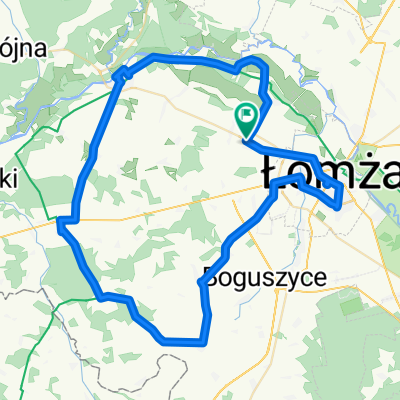
Łomża-Piątnica-Bronowo-Lutostań-Pniewo-Siemień-Stara Łomża-Łomża
- 58.5 km
- 194 m
- 197 m
- Łomża, Podlasie Voivodship, Poland
A cycling route starting in Łomża, Podlasie Voivodship, Poland.
Overview
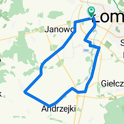
From Łomża via Piątnica, Chlidnie, Morgowniki, Baliki to Nowogród and back through Szablak, Jednaczewo, Kupiski.
created this 12 years ago
Route quality
Road
28.8 km
50 %
Quiet road
7.5 km
13 %
Paved
35.7 km
(62 %)
Unpaved
5.2 km
(9 %)
Asphalt
35.7 km
62 %
Unpaved (undefined)
2.9 km
5 %
Continue with Bikemap
You would like to ride Tour de Nowogród or customize it for your own trip? Here is what you can do with this Bikemap route:
Free trial for 3 days, or one-time payment. More about Bikemap Premium.
Discover more Premium features.
Get Bikemap PremiumFrom our community
Open it in the app