

Tommie
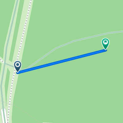
A cycling route starting in Loon op Zand, North Brabant, The Netherlands.
Overview
About this route
24-12-13 20:01
- -:--
- Duration
- 26.8 km
- Distance
- 33 m
- Ascent
- 33 m
- Descent
- ---
- Avg. speed
- ---
- Max. altitude
Continue with Bikemap
Use, edit, or download this cycling route
You would like to ride Tommie or customize it for your own trip? Here is what you can do with this Bikemap route:
Free features
- Save this route as favorite or in collections
- Copy & plan your own version of this route
- Sync your route with Garmin or Wahoo
Premium features
Free trial for 3 days, or one-time payment. More about Bikemap Premium.
- Navigate this route on iOS & Android
- Export a GPX / KML file of this route
- Create your custom printout (try it for free)
- Download this route for offline navigation
Discover more Premium features.
Get Bikemap PremiumFrom our community
Other popular routes starting in Loon op Zand
 132524.gpx
- Distance
- 33.6 km
- Ascent
- 29 m
- Descent
- 32 m
- Location
- Loon op Zand, North Brabant, The Netherlands
 20090315 Drunen plus een beetje
- Distance
- 33.6 km
- Ascent
- 39 m
- Descent
- 34 m
- Location
- Loon op Zand, North Brabant, The Netherlands
 Loonse en Drunese duinen
- Distance
- 44.4 km
- Ascent
- 78 m
- Descent
- 77 m
- Location
- Loon op Zand, North Brabant, The Netherlands
 DRUNEN
- Distance
- 0.1 km
- Ascent
- 0 m
- Descent
- 0 m
- Location
- Loon op Zand, North Brabant, The Netherlands
 Zwarte route LDD
- Distance
- 24.3 km
- Ascent
- 35 m
- Descent
- 34 m
- Location
- Loon op Zand, North Brabant, The Netherlands
 DRUNENSE HEIDE
- Distance
- 28.5 km
- Ascent
- 35 m
- Descent
- 38 m
- Location
- Loon op Zand, North Brabant, The Netherlands
 8 nov versie 2
- Distance
- 47.3 km
- Ascent
- 48 m
- Descent
- 50 m
- Location
- Loon op Zand, North Brabant, The Netherlands
 45 km mooi tochtje
- Distance
- 44.5 km
- Ascent
- 43 m
- Descent
- 46 m
- Location
- Loon op Zand, North Brabant, The Netherlands
Open it in the app