

Ronde van Retaard 2010
A cycling route starting in Ingared, Västra Götaland County, Sweden.
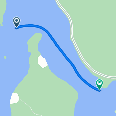
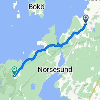
Overview
About this route
Komet Club Rouleur's Ronde van Retaard 2010. 112 km of gravel roads to be ridden on fixed or singlespeed bicycles exclusively.
(cloned from route 696920)- -:--
- Duration
- 235.9 km
- Distance
- 704 m
- Ascent
- 645 m
- Descent
- ---
- Avg. speed
- ---
- Max. altitude

Route quality
Waytypes & surfaces along the route
Waytypes
Quiet road
120.3 km
(51 %)
Path
49.5 km
(21 %)
Surfaces
Paved
84.9 km
(36 %)
Unpaved
125 km
(53 %)
Gravel
96.7 km
(41 %)
Asphalt
77.8 km
(33 %)
Continue with Bikemap
Use, edit, or download this cycling route
You would like to ride Ronde van Retaard 2010 or customize it for your own trip? Here is what you can do with this Bikemap route:
Free features
- Save this route as favorite or in collections
- Copy & plan your own version of this route
- Split it into stages to create a multi-day tour
- Sync your route with Garmin or Wahoo
Premium features
Free trial for 3 days, or one-time payment. More about Bikemap Premium.
- Navigate this route on iOS & Android
- Export a GPX / KML file of this route
- Create your custom printout (try it for free)
- Download this route for offline navigation
Discover more Premium features.
Get Bikemap PremiumFrom our community
Other popular routes starting in Ingared
 Hemsjö, Alingsås nach Ödenäsvägen, Alingsås
- Distance
- 0.9 km
- Ascent
- 3 m
- Descent
- 3 m
- Location
- Ingared, Västra Götaland County, Sweden
 Hemsjövägen, Alingsås to Bangatan 7, Alingsås
- Distance
- 6.3 km
- Ascent
- 178 m
- Descent
- 206 m
- Location
- Ingared, Västra Götaland County, Sweden
 Jour 58
- Distance
- 141.5 km
- Ascent
- 1,195 m
- Descent
- 1,303 m
- Location
- Ingared, Västra Götaland County, Sweden
 Västra Bodarnevägen 29, Alingsås to Västra Bodarnevägen 48–56, Alingsås
- Distance
- 0.7 km
- Ascent
- 9 m
- Descent
- 6 m
- Location
- Ingared, Västra Götaland County, Sweden
 EMU Sweden 2020 Etappe 11
- Distance
- 34.4 km
- Ascent
- 153 m
- Descent
- 232 m
- Location
- Ingared, Västra Götaland County, Sweden
 Västra Bodarnevägen 57, Alingsås to Öjaredsvägen, Lerum
- Distance
- 5.6 km
- Ascent
- 152 m
- Descent
- 152 m
- Location
- Ingared, Västra Götaland County, Sweden
 Sporty route in Töllsjö
- Distance
- 17.6 km
- Ascent
- 519 m
- Descent
- 521 m
- Location
- Ingared, Västra Götaland County, Sweden
 Skandynawia 2011 (Szwecja), dzień IV (2011.06.21)
- Distance
- 132.1 km
- Ascent
- 431 m
- Descent
- 513 m
- Location
- Ingared, Västra Götaland County, Sweden
Open it in the app