- 1,089.9 km
- 6,572 m
- 6,507 m
- Vila Real de Santo António, Faro District, Portugal
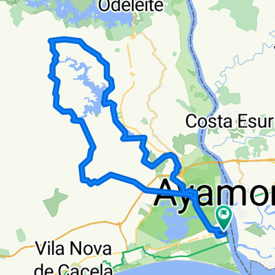
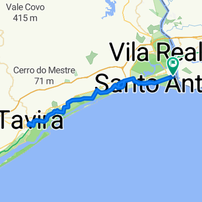
Camino Santiago. 2.Vila Real de Santo Antonio / Quarteira (por ecovías)
A cycling route starting in Vila Real de Santo António, Faro District, Portugal.
Overview
About this route
By ecovía and national road
- -:--
- Duration
- 78.9 km
- Distance
- 235 m
- Ascent
- 228 m
- Descent
- ---
- Avg. speed
- ---
- Max. altitude
created this 11 years ago
Route quality
Waytypes & surfaces along the route
Waytypes
Quiet road
21.3 km
(27 %)
Road
13.4 km
(17 %)
Surfaces
Paved
38.6 km
(49 %)
Unpaved
12.6 km
(16 %)
Asphalt
37.9 km
(48 %)
Gravel
5.5 km
(7 %)
Route highlights
Points of interest along the route
Point of interest after 0 km
009-Desde Ayamonte cruzamos el Guadiana y a Portugal
Point of interest after 0 km
009-Desde Ayamonte cruzamos el Guadiana y a Portugal
Point of interest after 5.2 km
011-salida de Monte Gordo por ecovía
Point of interest after 9.1 km
012-rotonda de desvio a la izd a Altura
Point of interest after 11.1 km
013- tomamos ecovía en Altura
Point of interest after 11.5 km
014- trozo enlace Altura-Manta Rota
Point of interest after 25 km
016a- antes de Tavira paso cortado fácil
Point of interest after 32 km
016- casi en Piedras del Rei
Point of interest after 32.5 km
017- tomamos a la izquierda salida Piedras del Rei
Point of interest after 34 km
018- en zig-zas
Point of interest after 34.6 km
019- otro giro
Point of interest after 36 km
020- otro giro mas
Point of interest after 37.3 km
021- de frente
Point of interest after 37.7 km
021a- por bajo de las vías
Point of interest after 59.8 km
022- cruzar vías en faro para coger la ecovía
Point of interest after 68.8 km
023- algunos cruces delicados antes de Quarteira
Point of interest after 78.7 km
Camping Orbitur Quarteira. Estrada da Fonte Santa 8125-618 Quarteira. Portugal +351 289302826 Boogie 2+2 pax 46 € Bengali 4 pax 57 €
Point of interest after 78.8 km
APARTAMENTOS CENTRAL. Rua Vasco da Gama, nº 88. (1 habitación, 3 adultos, 64 €)
Continue with Bikemap
Use, edit, or download this cycling route
You would like to ride Camino Santiago. 2.Vila Real de Santo Antonio / Quarteira (por ecovías) or customize it for your own trip? Here is what you can do with this Bikemap route:
Free features
- Save this route as favorite or in collections
- Copy & plan your own version of this route
- Sync your route with Garmin or Wahoo
Premium features
Free trial for 3 days, or one-time payment. More about Bikemap Premium.
- Navigate this route on iOS & Android
- Export a GPX / KML file of this route
- Create your custom printout (try it for free)
- Download this route for offline navigation
Discover more Premium features.
Get Bikemap PremiumFrom our community
Other popular routes starting in Vila Real de Santo António
- Cadix to Lisbon
- VRS António (train station) to Olhao
- 56.2 km
- 319 m
- 302 m
- Vila Real de Santo António, Faro District, Portugal
- Faro Portugal
- 40.5 km
- 195 m
- 175 m
- Vila Real de Santo António, Faro District, Portugal
- vrst - alamada ouro
- 29.2 km
- 295 m
- 293 m
- Vila Real de Santo António, Faro District, Portugal
- Camino Santiago. 2.Vila Real de Santo Antonio / Quarteira (por ecovías)
- 78.9 km
- 235 m
- 228 m
- Vila Real de Santo António, Faro District, Portugal
- Vila Real de San Antonio
- 51.6 km
- 485 m
- 486 m
- Vila Real de Santo António, Faro District, Portugal
- Romeinse brug van Tavira – Nieuwe brug over de Rio Gilão rondtocht vanuit Monte Gordo
- 56.7 km
- 272 m
- 272 m
- Vila Real de Santo António, Faro District, Portugal
- Vila Real - Tavira
- 37.2 km
- 181 m
- 162 m
- Vila Real de Santo António, Faro District, Portugal
Open it in the app


