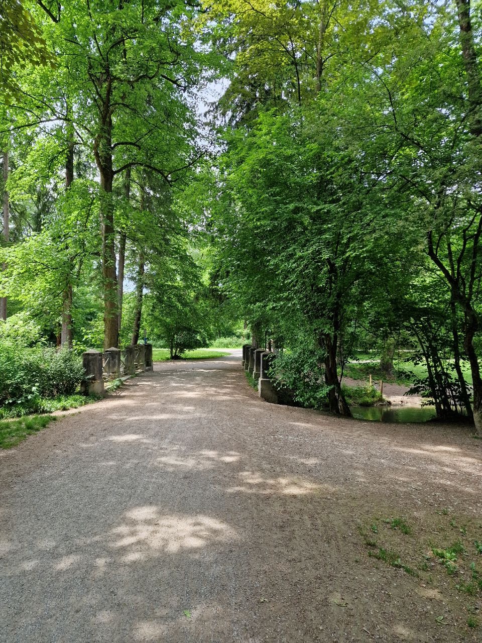
Unterföhring, Neufahrn, Freising, Flughafen
A cycling route starting in Unterföhring, Bavaria, Germany.
Overview
About this route
Rundfahrt: Unterföhring, Neufahrn, Freising, Flughafen. Die Strecke ist sowohl für Montainbike wie Trekkingrad geeignet. Meistens verläuft sie an der Isar entlang. Nur wenige Strecken auf einer Straße, oft Fahrradweg neben der Straße. Interessant ist der Flughafen, den man mit dem Fahrrad anderes erlebt als Reisende. Unterwegs gibt es mehrere Biergarten und Restaurants
- -:--
- Duration
- 80 km
- Distance
- 107 m
- Ascent
- 132 m
- Descent
- ---
- Avg. speed
- 502 m
- Max. altitude
Route quality
Waytypes & surfaces along the route
Waytypes
Track
22.5 km
(28 %)
Quiet road
18.3 km
(23 %)
Surfaces
Paved
41.7 km
(52 %)
Unpaved
33.4 km
(42 %)
Asphalt
36.8 km
(46 %)
Gravel
25.2 km
(32 %)
Route highlights
Points of interest along the route
Point of interest after 19 km
Eisdiele
Point of interest after 38.7 km
AGIP 24x7 Getränke und Espresso!
Continue with Bikemap
Use, edit, or download this cycling route
You would like to ride Unterföhring, Neufahrn, Freising, Flughafen or customize it for your own trip? Here is what you can do with this Bikemap route:
Free features
- Save this route as favorite or in collections
- Copy & plan your own version of this route
- Sync your route with Garmin or Wahoo
Premium features
Free trial for 3 days, or one-time payment. More about Bikemap Premium.
- Navigate this route on iOS & Android
- Export a GPX / KML file of this route
- Create your custom printout (try it for free)
- Download this route for offline navigation
Discover more Premium features.
Get Bikemap PremiumFrom our community
Other popular routes starting in Unterföhring
 Speichersee Runde
- Distance
- 42.8 km
- Ascent
- 45 m
- Descent
- 57 m
- Location
- Unterföhring, Bavaria, Germany
 Isarradweg
- Distance
- 19.6 km
- Ascent
- 63 m
- Descent
- 113 m
- Location
- Unterföhring, Bavaria, Germany
 Runde zwischen Erding und Markt Schwaben
- Distance
- 83.4 km
- Ascent
- 233 m
- Descent
- 233 m
- Location
- Unterföhring, Bavaria, Germany
 Von Johanneskirchen nach Moosach
- Distance
- 11.6 km
- Ascent
- 29 m
- Descent
- 38 m
- Location
- Unterföhring, Bavaria, Germany
 Ingolstädter Straße, München nach Infanteriestraße 15, München
- Distance
- 6.4 km
- Ascent
- 27 m
- Descent
- 14 m
- Location
- Unterföhring, Bavaria, Germany
 München (City-Parktour 3)
- Distance
- 34.9 km
- Ascent
- 54 m
- Descent
- 54 m
- Location
- Unterföhring, Bavaria, Germany
 Unterföhring - Aschheim - Kirchheim - Fischweiher - Ismaning - Garching - Freimann - Unterföhring
- Distance
- 33.8 km
- Ascent
- 35 m
- Descent
- 37 m
- Location
- Unterföhring, Bavaria, Germany
 21.04.
- Distance
- 56.1 km
- Ascent
- 79 m
- Descent
- 82 m
- Location
- Unterföhring, Bavaria, Germany
Open it in the app

