

Bludov - Háj rozhledna
A cycling route starting in Bludov, Olomoucký kraj, Czechia.
Overview
About this route
hilly - sometimes steep
- -:--
- Duration
- 8.2 km
- Distance
- 390 m
- Ascent
- 390 m
- Descent
- ---
- Avg. speed
- ---
- Max. altitude

Continue with Bikemap
Use, edit, or download this cycling route
You would like to ride Bludov - Háj rozhledna or customize it for your own trip? Here is what you can do with this Bikemap route:
Free features
- Save this route as favorite or in collections
- Copy & plan your own version of this route
- Sync your route with Garmin or Wahoo
Premium features
Free trial for 3 days, or one-time payment. More about Bikemap Premium.
- Navigate this route on iOS & Android
- Export a GPX / KML file of this route
- Create your custom printout (try it for free)
- Download this route for offline navigation
Discover more Premium features.
Get Bikemap PremiumFrom our community
Other popular routes starting in Bludov
 Za kamzíky na Stráně by wosicz
- Distance
- 72.4 km
- Ascent
- 1,164 m
- Descent
- 1,164 m
- Location
- Bludov, Olomoucký kraj, Czechia
 Bludov - Třeština
- Distance
- 19.4 km
- Ascent
- 19 m
- Descent
- 66 m
- Location
- Bludov, Olomoucký kraj, Czechia
 Chromeč - malý okruh
- Distance
- 4.3 km
- Ascent
- 24 m
- Descent
- 26 m
- Location
- Bludov, Olomoucký kraj, Czechia
 Bludov - Aloisov - Hostice - "Na horách" - Sborov - Postřelmůvek - Bludov
- Distance
- 38.2 km
- Ascent
- 925 m
- Descent
- 926 m
- Location
- Bludov, Olomoucký kraj, Czechia
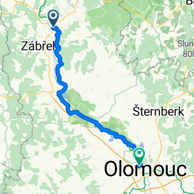 Morava 2E - Zábřeh - Olomouc
- Distance
- 59 km
- Ascent
- 84 m
- Descent
- 151 m
- Location
- Bludov, Olomoucký kraj, Czechia
 Chromeč - vila Háj
- Distance
- 35.1 km
- Ascent
- 68 m
- Descent
- 71 m
- Location
- Bludov, Olomoucký kraj, Czechia
 Bludov - Háj rozhledna
- Distance
- 8.2 km
- Ascent
- 390 m
- Descent
- 390 m
- Location
- Bludov, Olomoucký kraj, Czechia
 Bludov - Velké Losiny
- Distance
- 18.5 km
- Ascent
- 449 m
- Descent
- 367 m
- Location
- Bludov, Olomoucký kraj, Czechia
Open it in the app