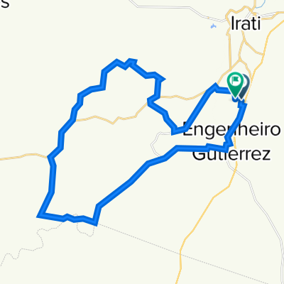
Trilha
- 36.8 km
- 432 m
- 433 m
- Irati, Paraná, Brazil
A cycling route starting in Irati, Paraná, Brazil.
Overview
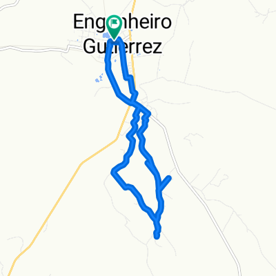
Bike trip Segment 1 - Irati-Curitiba
Route highlights
Saida - Irati
Parada - Palmeira
Continue with Bikemap
You would like to ride Cicloviagem Trecho 1 - Irati-Curitiba or customize it for your own trip? Here is what you can do with this Bikemap route:
Free trial for 3 days, or one-time payment. More about Bikemap Premium.
Discover more Premium features.
Get Bikemap PremiumFrom our community
Open it in the app