PICACHO SOLUCIONADO
- 51.9 km
- 627 m
- 627 m
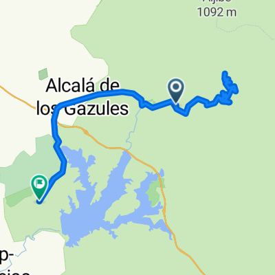
- Alcalá de los Gazules, Andalusia, Spain
A cycling route starting in Alcalá de los Gazules, Andalusia, Spain.
Overview
This is a tough ride of 70km with hills at the start - but it is well worth the effort. Beware, we were stopped,by a guy in a Junta pick up truck, when we went into the National Park and asked for a pass, which we didn't have. After 1/2 hour of telephoning etc we were eventaully allowed to ride the 40km through this fantasic park.
It seems that cyclists need to get a pass from the tourist information office in Alcala. Once we were in the park, no one stopped us, so just act dumb. Spectacular views and the down hill section on track is a buzzzzz (cloned from route 2134884)created this 11 years ago
Route quality
Quiet road
33.7 km
(48 %)
Track
19.6 km
(28 %)
Paved
36.5 km
(52 %)
Asphalt
28.7 km
(41 %)
Paved (undefined)
7.7 km
(11 %)
Undefined
33.7 km
(48 %)
Continue with Bikemap
You would like to ride Picacho - Peguera Loop or customize it for your own trip? Here is what you can do with this Bikemap route:
Free trial for 3 days, or one-time payment. More about Bikemap Premium.
Discover more Premium features.
Get Bikemap PremiumFrom our community
Open it in the app