

Trans-Alp Via Claudia Augusta Donauwörth bis Torbole am Gardasee
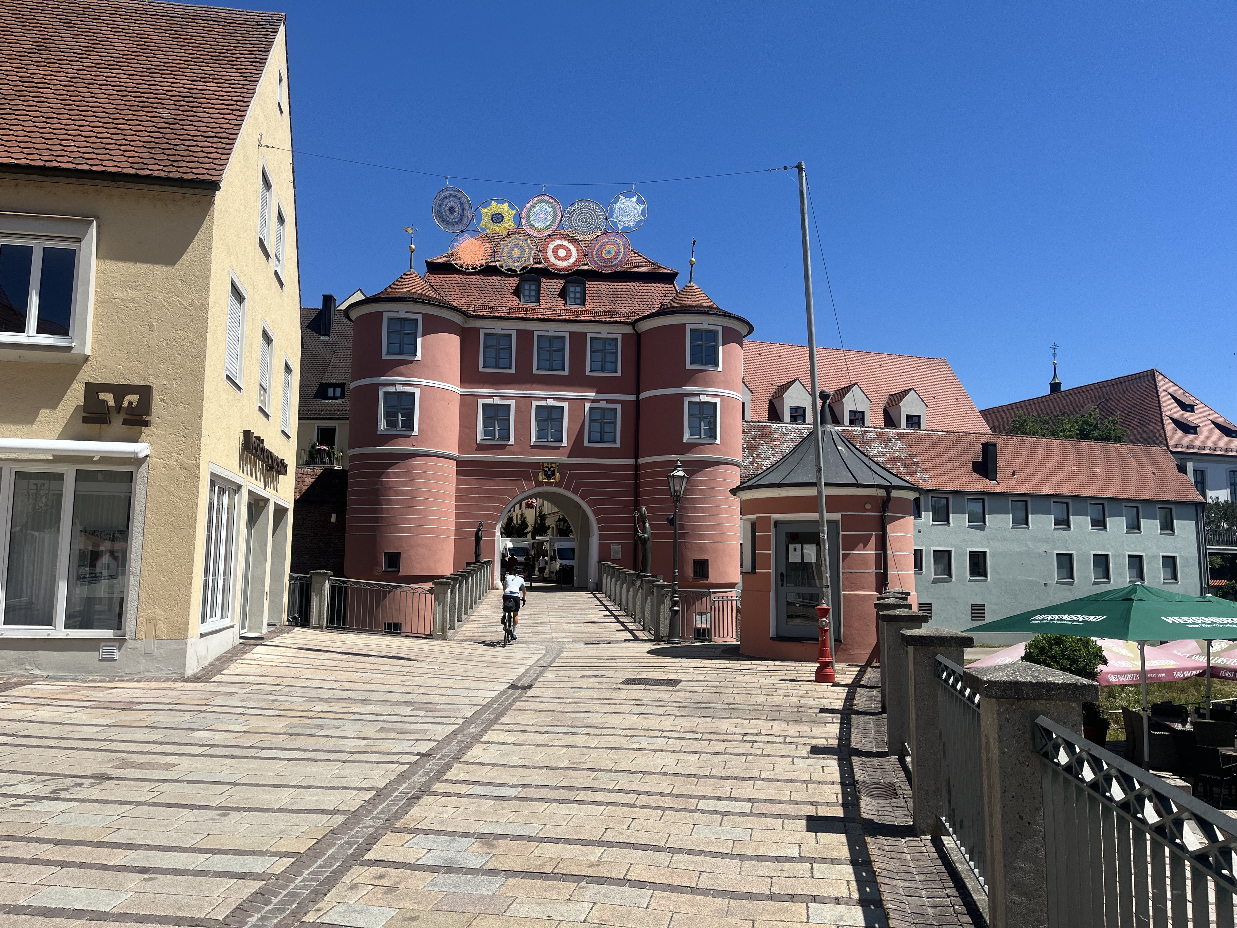
A cycling route starting in Donauwörth, Bavaria, Germany.
Overview
About this route
By train to DonauwörthZirgesheimer Str. 5Start of the routeLength: 97.5 kmElevation: 300 mUnterdießenLength: 97.6 kmElevation: 868 mBichlbachLength: 97.6 kmElevation: 862 mPfundsLength: 97.4 kmElevation: 879 mPlausLength: 97.9 kmElevation: 249 mLavisLength: 37.9 kmElevation: 52 mIsera
- -:--
- Duration
- 515.6 km
- Distance
- 1,830 m
- Ascent
- 2,159 m
- Descent
- ---
- Avg. speed
- ---
- Max. altitude

Route quality
Waytypes & surfaces along the route
Waytypes
Quiet road
139.2 km
(27 %)
Track
128.9 km
(25 %)
Surfaces
Paved
381.5 km
(74 %)
Unpaved
92.8 km
(18 %)
Asphalt
376.4 km
(73 %)
Gravel
61.9 km
(12 %)
Route highlights
Points of interest along the route
Accommodation after 1.6 km
Übernachtung Zirgesheimer Str. 5 bei Pension Graf Tel.:0906-5117 http://www.qype.com/place/1559643-Pension-Graf-Donauwoerth
Point of interest after 92.2 km
1. Tag 97 km und 300 HM
Point of interest after 179.7 km
2. Tag 97 km und 900 HM
Point of interest after 277.6 km
3. Tag Pfunds 97km und 879 HM
Point of interest after 377.3 km
4. Tag Plaus 97km und 249 HM
Point of interest after 463.9 km
5. Tag Lavis 37km und 52 HM
Continue with Bikemap
Use, edit, or download this cycling route
You would like to ride Trans-Alp Via Claudia Augusta Donauwörth bis Torbole am Gardasee or customize it for your own trip? Here is what you can do with this Bikemap route:
Free features
- Save this route as favorite or in collections
- Copy & plan your own version of this route
- Split it into stages to create a multi-day tour
- Sync your route with Garmin or Wahoo
Premium features
Free trial for 3 days, or one-time payment. More about Bikemap Premium.
- Navigate this route on iOS & Android
- Export a GPX / KML file of this route
- Create your custom printout (try it for free)
- Download this route for offline navigation
Discover more Premium features.
Get Bikemap PremiumFrom our community
Other popular routes starting in Donauwörth
 E6. 10.7.25 Donauwörth nach Ingolstadt
- Distance
- 78.1 km
- Ascent
- 245 m
- Descent
- 332 m
- Location
- Donauwörth, Bavaria, Germany
 Donauwörth - Stadtbergen
- Distance
- 53.5 km
- Ascent
- 142 m
- Descent
- 54 m
- Location
- Donauwörth, Bavaria, Germany
 Vorschlag Tag 4 August 2025
- Distance
- 86.5 km
- Ascent
- 424 m
- Descent
- 330 m
- Location
- Donauwörth, Bavaria, Germany
 Hindenburgstraße, Donauwörth to Baldinger Straße, Nördlingen
- Distance
- 35.7 km
- Ascent
- 190 m
- Descent
- 161 m
- Location
- Donauwörth, Bavaria, Germany
 Via Claudia Augusta: Donauwörth (Germany) - Bolzano (Italy)
- Distance
- 431 km
- Ascent
- 4,558 m
- Descent
- 4,686 m
- Location
- Donauwörth, Bavaria, Germany
 Parkstadtrail
- Distance
- 1.2 km
- Ascent
- 61 m
- Descent
- 60 m
- Location
- Donauwörth, Bavaria, Germany
 SARadwag
- Distance
- 422.6 km
- Ascent
- 6,973 m
- Descent
- 6,977 m
- Location
- Donauwörth, Bavaria, Germany
 Bahnhofstraße, Donauwörth to Mündlinger Straße, Harburg
- Distance
- 15.5 km
- Ascent
- 136 m
- Descent
- 109 m
- Location
- Donauwörth, Bavaria, Germany
Open it in the app