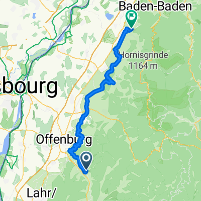
3 tägige Scharzwaldtour - Tag 2
A cycling route starting in Gengenbach, Hesse, Germany.
Overview
About this route
From Gengenbach up to Kornebene, then up to Mooskopf, descending to Oppenau via Bärenweg, Kalikutt, Börsgritt, Holiswald, and Boxberg. From Oppenau then up to Rebberg and further up to Hochebene. We continue off-road to Hauskopf, Ruliskopf to Wachschrofen. The next destination is Hundskopf, and then the Allerheiligenfälle. From Allerheiligen we go up to Schliffkopf and further to Ruhestein. From there via Rotmurgquelle to Sturmhütte, further to the waterfall. The route of Rotmurgentlang to Obertal.
- -:--
- Duration
- 51.1 km
- Distance
- 1,634 m
- Ascent
- 1,211 m
- Descent
- ---
- Avg. speed
- ---
- Max. altitude
Continue with Bikemap
Use, edit, or download this cycling route
You would like to ride 3 tägige Scharzwaldtour - Tag 2 or customize it for your own trip? Here is what you can do with this Bikemap route:
Free features
- Save this route as favorite or in collections
- Copy & plan your own version of this route
- Sync your route with Garmin or Wahoo
Premium features
Free trial for 3 days, or one-time payment. More about Bikemap Premium.
- Navigate this route on iOS & Android
- Export a GPX / KML file of this route
- Create your custom printout (try it for free)
- Download this route for offline navigation
Discover more Premium features.
Get Bikemap PremiumFrom our community
Other popular routes starting in Gengenbach
Gengenbach - Lahr - Biberach - Gengenbach- Distance
- 50.9 km
- Ascent
- 275 m
- Descent
- 275 m
- Location
- Gengenbach, Hesse, Germany
7-Täler-Weg Gengenbach nach Biberach CLONED FROM ROUTE 1607693- Distance
- 18.5 km
- Ascent
- 517 m
- Descent
- 495 m
- Location
- Gengenbach, Hesse, Germany
47km GENGENBACH- Distance
- 47 km
- Ascent
- 0 m
- Descent
- 0 m
- Location
- Gengenbach, Hesse, Germany
3 tägige Scharzwaldtour - Tag 2- Distance
- 51.1 km
- Ascent
- 1,634 m
- Descent
- 1,211 m
- Location
- Gengenbach, Hesse, Germany
Von Gengenbach ĂĽber Kornebene nach Steinenbach und zurĂĽck- Distance
- 42.3 km
- Ascent
- 1,249 m
- Descent
- 1,257 m
- Location
- Gengenbach, Hesse, Germany
Kornbebene, Moos (MTB)- Distance
- 26.9 km
- Ascent
- 705 m
- Descent
- 704 m
- Location
- Gengenbach, Hesse, Germany
3. Etappe von Gengenbach nach BĂĽhl- Distance
- 58.7 km
- Ascent
- 683 m
- Descent
- 695 m
- Location
- Gengenbach, Hesse, Germany
Strohbach- Distance
- 18.6 km
- Ascent
- 620 m
- Descent
- 607 m
- Location
- Gengenbach, Hesse, Germany
Open it in the app


