

Hugenotten-RTF 75km
A cycling route starting in Neu-Isenburg, Hesse, Germany.
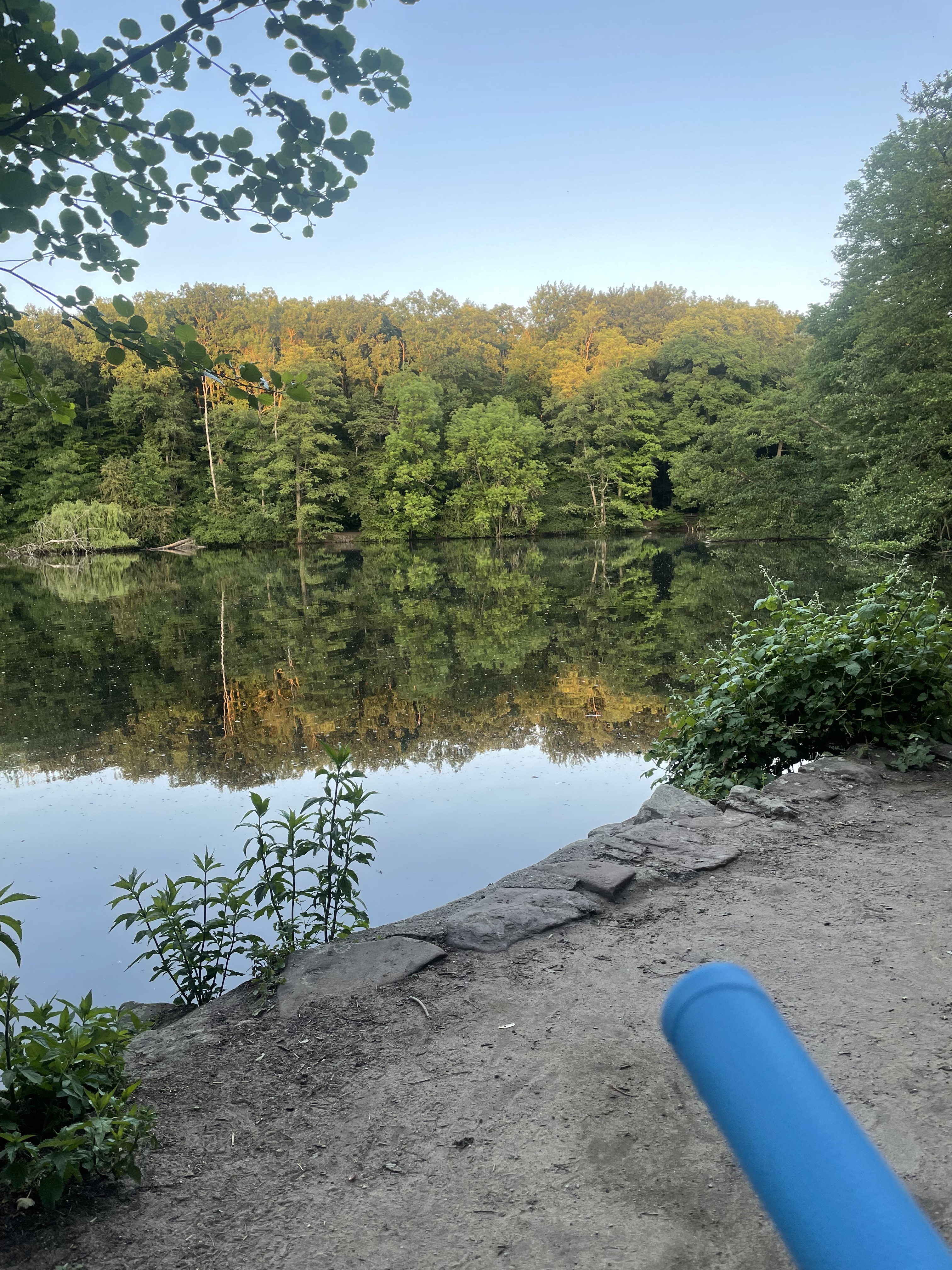
Overview
About this route
Götzenhain, Dietzenbach, Ober- Roden, Eppersthausen, Hergershausen, Sickenhofen, Babenhausen, Langstadt, Klein-Umstadt, Richen, Altheim, Münster, Eppertshausen, Thomashütte, Messel, Offenthal, Götzenhain, Neu- Isenburg
- -:--
- Duration
- 75.3 km
- Distance
- 228 m
- Ascent
- 187 m
- Descent
- ---
- Avg. speed
- 190 m
- Max. altitude

Route quality
Waytypes & surfaces along the route
Waytypes
Busy road
30.1 km
(40 %)
Quiet road
14.9 km
(20 %)
Surfaces
Paved
66.3 km
(88 %)
Unpaved
3.1 km
(4 %)
Asphalt
61.8 km
(82 %)
Paving stones
3.3 km
(4 %)
Continue with Bikemap
Use, edit, or download this cycling route
You would like to ride Hugenotten-RTF 75km or customize it for your own trip? Here is what you can do with this Bikemap route:
Free features
- Save this route as favorite or in collections
- Copy & plan your own version of this route
- Sync your route with Garmin or Wahoo
Premium features
Free trial for 3 days, or one-time payment. More about Bikemap Premium.
- Navigate this route on iOS & Android
- Export a GPX / KML file of this route
- Create your custom printout (try it for free)
- Download this route for offline navigation
Discover more Premium features.
Get Bikemap PremiumFrom our community
Other popular routes starting in Neu-Isenburg
 Neu-Isenburg - Käsmühle Rundweg
- Distance
- 36.2 km
- Ascent
- 105 m
- Descent
- 107 m
- Location
- Neu-Isenburg, Hesse, Germany
 Neu-Isenburg - Waldzoo Offenbach + Waldcafe "Hainbachtal"
- Distance
- 19.8 km
- Ascent
- 84 m
- Descent
- 83 m
- Location
- Neu-Isenburg, Hesse, Germany
 Neu-Isenburg - Gundhof + Odenwaldclubhaus
- Distance
- 19.4 km
- Ascent
- 108 m
- Descent
- 128 m
- Location
- Neu-Isenburg, Hesse, Germany
 NI - Rund über Münster
- Distance
- 70.5 km
- Ascent
- 406 m
- Descent
- 405 m
- Location
- Neu-Isenburg, Hesse, Germany
 Neu-Isenburg - Goetheturm - Jacobiweiher
- Distance
- 11.2 km
- Ascent
- 67 m
- Descent
- 69 m
- Location
- Neu-Isenburg, Hesse, Germany
 Isenburger Runde
- Distance
- 72.4 km
- Ascent
- 217 m
- Descent
- 224 m
- Location
- Neu-Isenburg, Hesse, Germany
 Oberschweinstiegschneise, Frankfurt am Main nach Lyoner Straße, Frankfurt am Main
- Distance
- 8.8 km
- Ascent
- 735 m
- Descent
- 760 m
- Location
- Neu-Isenburg, Hesse, Germany
 Von Neu-Isenburg bis Mainz
- Distance
- 35.7 km
- Ascent
- 130 m
- Descent
- 167 m
- Location
- Neu-Isenburg, Hesse, Germany
Open it in the app