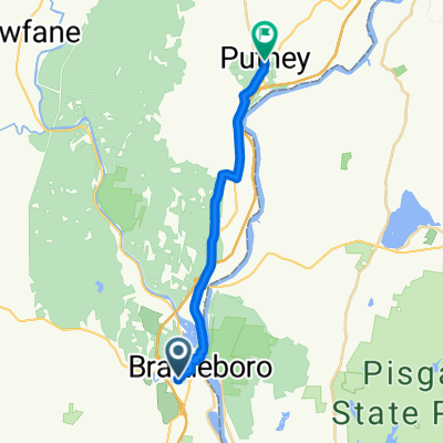
79 Estey St, Brattleboro to 127 Main St, East Dummerston
- 16.9 km
- 227 m
- 237 m
- Brattleboro, Vermont, United States
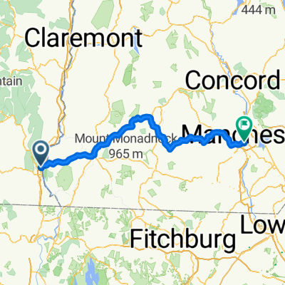
A cycling route starting in Brattleboro, Vermont, United States.
Overview
Letzte Etappe meiner USA-Tour. Nochmals sehr anstregend, zumindest zu Anfang. Nach Passieren der state line von Massachusetts eher flach
created this 16 years ago
Route quality
Quiet road
31.8 km
18 %
Road
10.6 km
6 %
Paved
121.8 km
(69 %)
Asphalt
121.8 km
69 %
Undefined
54.7 km
31 %
Route highlights


Continue with Bikemap
You would like to ride 34. Tag C2C Brattleboro, VT - Lynn, MA or customize it for your own trip? Here is what you can do with this Bikemap route:
Free trial for 3 days, or one-time payment. More about Bikemap Premium.
Discover more Premium features.
Get Bikemap PremiumFrom our community
Open it in the app