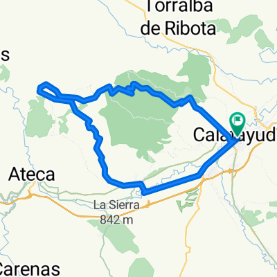
calatayud-aniñon-mores-calatayud
- 62.4 km
- 868 m
- 867 m
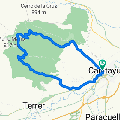
- Calatayud, Aragon, Spain
A cycling route starting in Calatayud, Aragon, Spain.
Overview
11th STAGE 2 MOUNTAIN PASSES 1 PUERTO DE BIGUERNIA 1 ALTO DEL MONCAYO SPECIAL CATEGORY
Route quality
Cycleway
54.3 km
(43 %)
Track
24 km
(19 %)
Paved
42.9 km
(34 %)
Unpaved
7.6 km
(6 %)
Asphalt
42.9 km
(34 %)
Gravel
7.6 km
(6 %)
Undefined
75.7 km
(60 %)
Route highlights
SPRINT DE TORRELAPAJA
PUERTO DE BIGERNIA 1100M 1º CATEGORIA
SPRINT DE NOVIERCAS
ALTO DEL MONCAYO 2316M CATEGORIA ESPECIAL
Continue with Bikemap
You would like to ride CALATAYUD-ALTO DEL MONCAYO or customize it for your own trip? Here is what you can do with this Bikemap route:
Free trial for 3 days, or one-time payment. More about Bikemap Premium.
Discover more Premium features.
Get Bikemap PremiumFrom our community
Open it in the app