
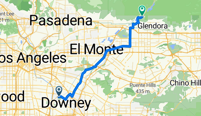
Rio Hondo Bike Path (Upper)
A cycling route starting in Bell Gardens, California, United States of America.
Overview
About this route
Rio Hondo Bike Path Bell Gardens, CA 90201 33° 57.487', -118° 8.973'
- -:--
- Duration
- 40.6 km
- Distance
- 208 m
- Ascent
- 0 m
- Descent
- ---
- Avg. speed
- ---
- Max. altitude

Route quality
Waytypes & surfaces along the route
Waytypes
Busy road
23 km
(57 %)
Quiet road
8.1 km
(20 %)
Surfaces
Paved
14.1 km
(35 %)
Asphalt
12.9 km
(32 %)
Paved (undefined)
0.7 km
(2 %)
Continue with Bikemap
Use, edit, or download this cycling route
You would like to ride Rio Hondo Bike Path (Upper) or customize it for your own trip? Here is what you can do with this Bikemap route:
Free features
- Save this route as favorite or in collections
- Copy & plan your own version of this route
- Sync your route with Garmin or Wahoo
Premium features
Free trial for 3 days, or one-time payment. More about Bikemap Premium.
- Navigate this route on iOS & Android
- Export a GPX / KML file of this route
- Create your custom printout (try it for free)
- Download this route for offline navigation
Discover more Premium features.
Get Bikemap PremiumFrom our community
Other popular routes starting in Bell Gardens
 First Trip. 5/28/2014
- Distance
- 16.8 km
- Ascent
- 23 m
- Descent
- 25 m
- Location
- Bell Gardens, California, United States of America
 Rio Hondo Bike Path (Upper)
- Distance
- 40.6 km
- Ascent
- 208 m
- Descent
- 0 m
- Location
- Bell Gardens, California, United States of America
 Number 2
- Distance
- 18.7 km
- Ascent
- 36 m
- Descent
- 38 m
- Location
- Bell Gardens, California, United States of America
 Bell Gardens to Santa Fe Dam
- Distance
- 40.8 km
- Ascent
- 352 m
- Descent
- 137 m
- Location
- Bell Gardens, California, United States of America
 Glencliff Drive 7342, Downey to Washington Boulevard 8400, Pico Rivera
- Distance
- 22.8 km
- Ascent
- 64 m
- Descent
- 19 m
- Location
- Bell Gardens, California, United States of America
 7000 Dinwiddie St, Downey a 564 E Dayman St, Long Beach
- Distance
- 21.6 km
- Ascent
- 47 m
- Descent
- 77 m
- Location
- Bell Gardens, California, United States of America
 LA Canal Bike Route
- Distance
- 50.1 km
- Ascent
- 369 m
- Descent
- 371 m
- Location
- Bell Gardens, California, United States of America
 7000 Watcher St, Commerce to 7002 Watcher St, Commerce
- Distance
- 20.7 km
- Ascent
- 43 m
- Descent
- 44 m
- Location
- Bell Gardens, California, United States of America
Open it in the app