Anna-Dengel-Straße, Innsbruck nach Anna-Dengel-Straße, Innsbruck
- 21.1 km
- 225 m
- 220 m
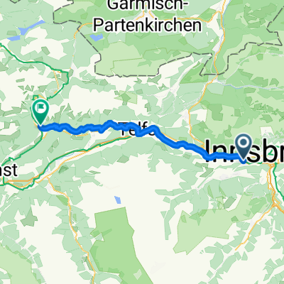
- Völs, Tyrol, Austria
A cycling route starting in Völs, Tyrol, Austria.
Overview
Ibk-Telfs-Buchau-Leutasch-Mittenwald-Krün-Wallgau-Jachenau-Lengries-Bad Tölz
created this 16 years ago
Route quality
Road
24.4 km
(23 %)
Quiet road
12.7 km
(12 %)
Paved
89.1 km
(84 %)
Unpaved
2.1 km
(2 %)
Asphalt
88.1 km
(83 %)
Gravel
2.1 km
(2 %)
Continue with Bikemap
You would like to ride Ibk-BadTölz or customize it for your own trip? Here is what you can do with this Bikemap route:
Free trial for 3 days, or one-time payment. More about Bikemap Premium.
Discover more Premium features.
Get Bikemap PremiumFrom our community
Open it in the app