2018 Heidetour 03
- 15.3 km
- 52 m
- 107 m
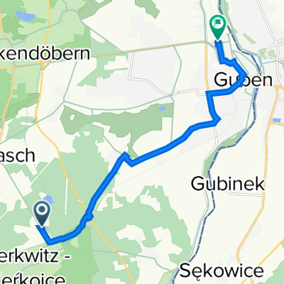
- Schenkendöbern, Brandenburg, Germany
A cycling route starting in Schenkendöbern, Brandenburg, Germany.
Overview
115km round
created this 11 years ago
Route quality
Quiet road
22.8 km
(42 %)
Road
9.2 km
(17 %)
Paved
33.1 km
(61 %)
Unpaved
2.7 km
(5 %)
Asphalt
33.1 km
(61 %)
Unpaved (undefined)
2.2 km
(4 %)
Route highlights
Kontrollpunkt 2
Kontrollpunkt 3 von K 2 aus 30Km
Streckenteilung 120.-150 km
Continue with Bikemap
You would like to ride Kontrollpunkt 2-K 3 54 Km or customize it for your own trip? Here is what you can do with this Bikemap route:
Free trial for 3 days, or one-time payment. More about Bikemap Premium.
Discover more Premium features.
Get Bikemap PremiumFrom our community
Open it in the app