

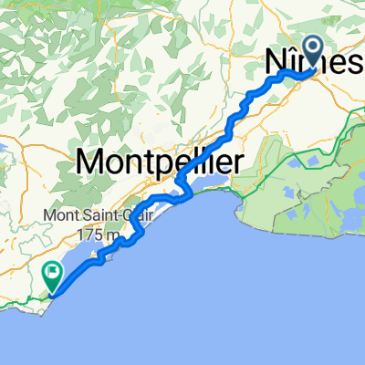
Stage 2 - Étoile de Bessèges 2014 - Nimes-Saint Ambroix
A cycling route starting in Nîmes, Occitanie, France.
Overview
About this route
Stage 2 - Étoile de Bessèges 2014 - Nimes-Saint Ambroix
- -:--
- Duration
- 148 km
- Distance
- 1,254 m
- Ascent
- 1,178 m
- Descent
- ---
- Avg. speed
- ---
- Max. altitude

Route quality
Waytypes & surfaces along the route
Waytypes
Road
28.1 km
(19 %)
Quiet road
19.2 km
(13 %)
Surfaces
Paved
60.7 km
(41 %)
Asphalt
60.7 km
(41 %)
Undefined
87.3 km
(59 %)
Route highlights
Points of interest along the route

Point of interest after 35.2 km
GPM Côte de Saint Laurent la Vernède

Point of interest after 80.2 km
GPM Côte de Saint Jean de Maruejols

Point of interest after 125.4 km
CIRCUITO

Point of interest after 148 km
ARRIVO
Continue with Bikemap
Use, edit, or download this cycling route
You would like to ride Stage 2 - Étoile de Bessèges 2014 - Nimes-Saint Ambroix or customize it for your own trip? Here is what you can do with this Bikemap route:
Free features
- Save this route as favorite or in collections
- Copy & plan your own version of this route
- Split it into stages to create a multi-day tour
- Sync your route with Garmin or Wahoo
Premium features
Free trial for 3 days, or one-time payment. More about Bikemap Premium.
- Navigate this route on iOS & Android
- Export a GPX / KML file of this route
- Create your custom printout (try it for free)
- Download this route for offline navigation
Discover more Premium features.
Get Bikemap PremiumFrom our community
Other popular routes starting in Nîmes
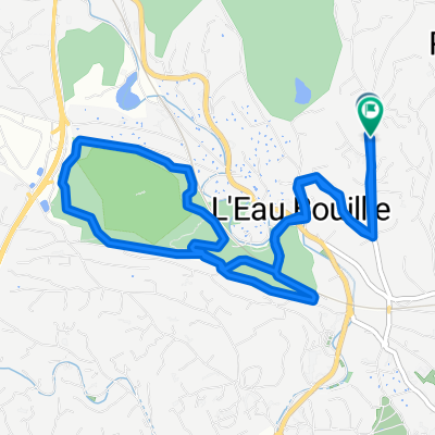
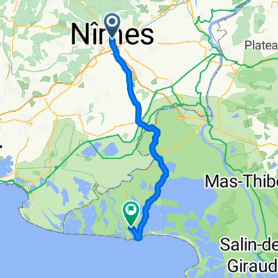 SAB 7 Nîmes Stes Maries de la mer
- Distance
- 55.9 km
- Ascent
- 66 m
- Descent
- 115 m
- Location
- Nîmes, Occitanie, France
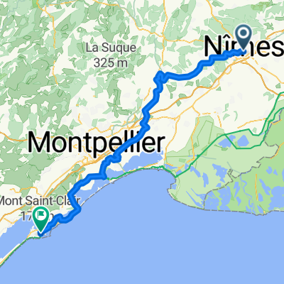 From Nîmes to Sète
- Distance
- 104.8 km
- Ascent
- 444 m
- Descent
- 479 m
- Location
- Nîmes, Occitanie, France
 etapa 1
- Distance
- 14 km
- Ascent
- 67 m
- Descent
- 72 m
- Location
- Nîmes, Occitanie, France
 Place de la Calade, Nîmes to Avenue du Pont du Gard, Vers-Pont-du-Gard
- Distance
- 27.9 km
- Ascent
- 144 m
- Descent
- 165 m
- Location
- Nîmes, Occitanie, France
 Nimes to Arles (Passed)
- Distance
- 33.8 km
- Ascent
- 86 m
- Descent
- 109 m
- Location
- Nîmes, Occitanie, France
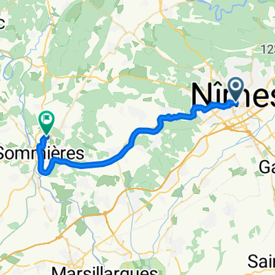 Nîmes to Villevieille
- Distance
- 33.3 km
- Ascent
- 317 m
- Descent
- 296 m
- Location
- Nîmes, Occitanie, France
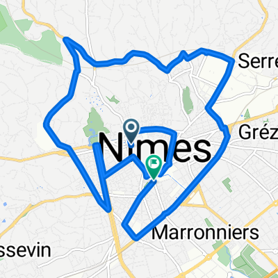
 Chemin des Antiquailles, Nîmes à Chemin des Antiquailles, Nîmes
- Distance
- 9.3 km
- Ascent
- 320 m
- Descent
- 327 m
- Location
- Nîmes, Occitanie, France
 Mornas
- Distance
- 116.7 km
- Ascent
- 367 m
- Descent
- 410 m
- Location
- Nîmes, Occitanie, France
Open it in the app