Barbušova, Spišské Tomášovce až Pod Tepličkou, Spišská Nová Ves
- 32.5 km
- 781 m
- 778 m
- Spišská Nová Ves, Košice Region, Slovakia
A cycling route starting in Spišská Nová Ves, Košice Region, Slovakia.
Overview
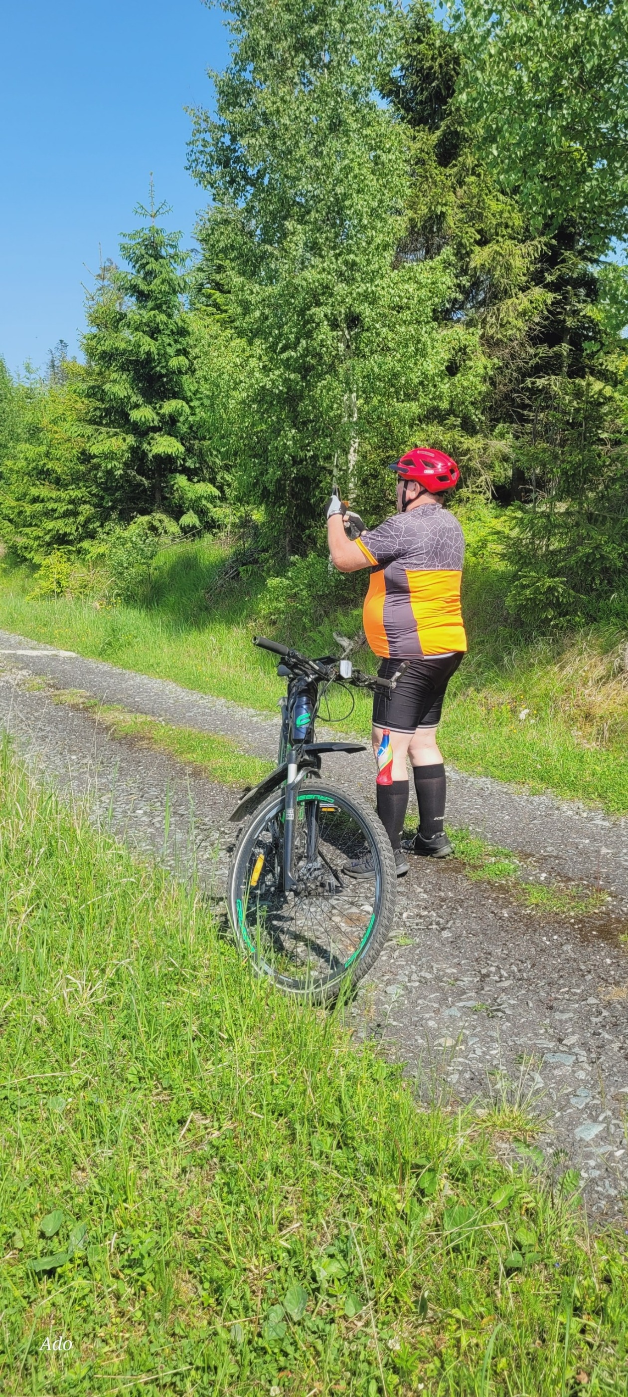
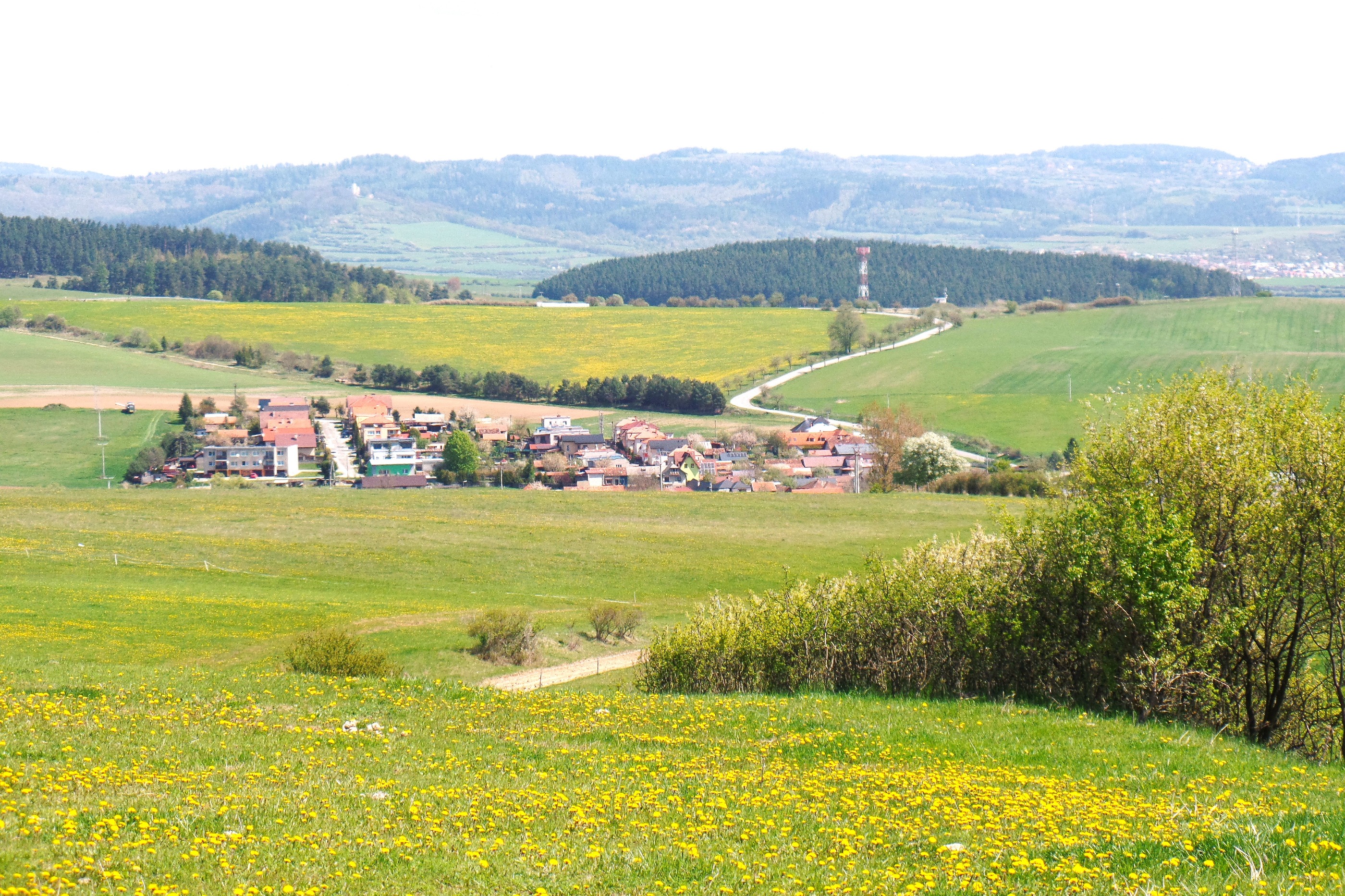
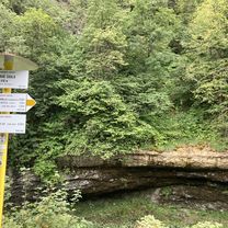
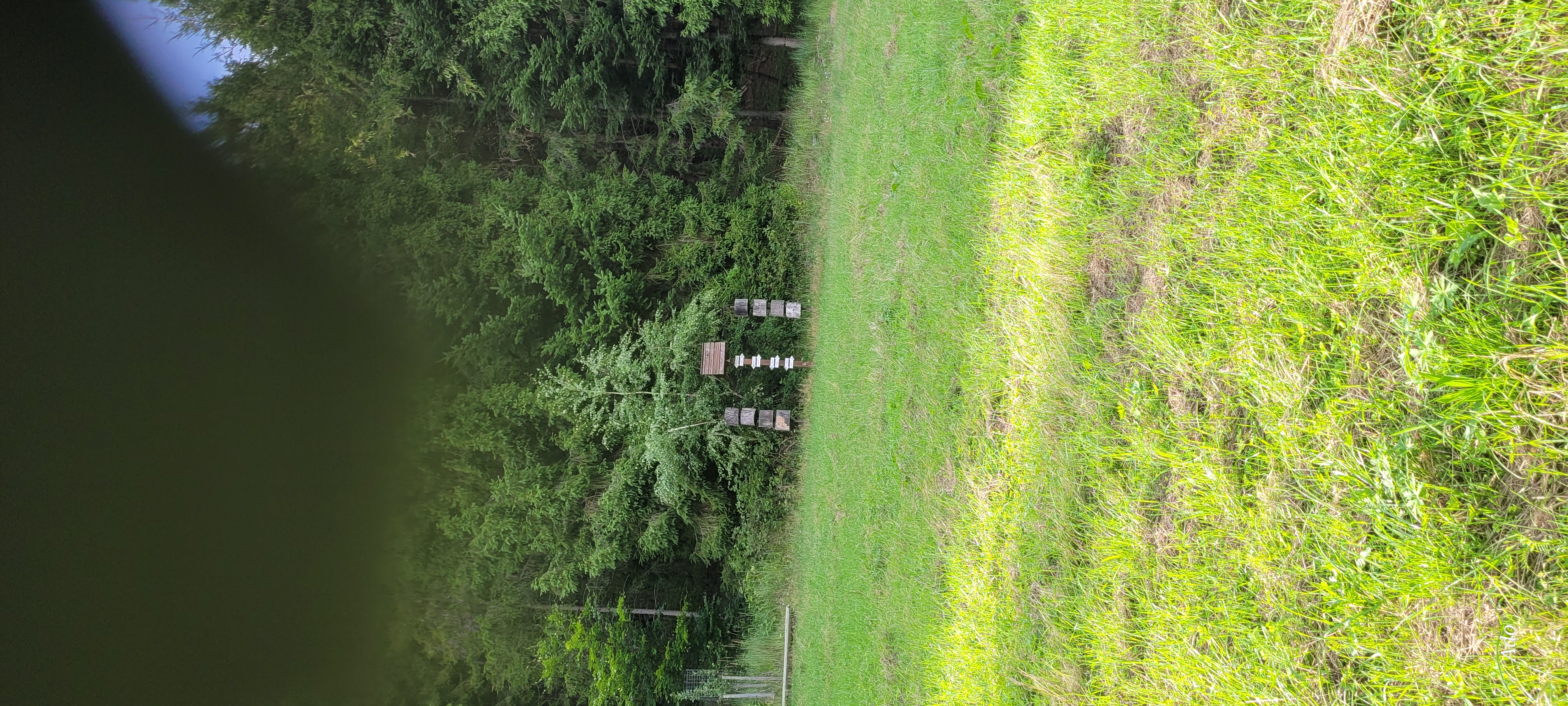
An easy, family-friendly circuit offers relaxation and a taste of the Slovak Paradise. It is a small suburban loop, conducted on marked CTT paths with asphalt, gravel and stabilized surfaces, and almost entirely away from road traffic. At the beginning, we briefly let ourselves be guided through the city's streets by the yellow cycle route 8854. After the bridge over the Hornád river, we continue straight south on the blue cycle route 2711. At the level of the last houses, and after turning right, the surface of the road changes to stabilized. We continue winding along a rural road through the open landscape, always staying on the blue sign. In case of good visibility, we can enjoy the view of the High Tatras. At the edge of the pine forest, we enter the protective zone of the Slovak Paradise National Park and pass through the holiday cottage settlement. The road with a stabilized surface after a mini stream changes its surface to gravel, and with a gentle climb leads us to the junction of cycling and hiking trails to the cottage settlement and the tourism center Kościarny brieżok. Our loop continues west along the green cycle route 5705. After a pleasant flat section, the circuit enters the forest (behind the barrier) and begins to rise gently to a large forest glade called Bikšova lúka. From the highest point of the circuit, we continue left along the edge of Bikšova lúka with a gentle downhill ride of two kilometers, later through the forest, still on a gravel forest road. WARNING! Above Lesnicą we leave the gravel forest road, turn right and again to the right, and continue down the forest road with a stabilized surface downhill alongside the Lesnica stream, which we later have to cross, or use the narrow bridge. The forest road and the green cycle route lead us to the junction of hiking trails at Ústie Lesnice. From the junction, we continue to the right, cross a narrow bridge over the Hornád river, connect to a road with an asphalt surface that leads us to the central tourist orientation in Čingov, where a boulder with the inscription 'National Park Slovak Paradise 1988' (designated as a national park on 18.01.1988) attracts attention. The route continues with a gentle ascent northeast along the asphalt local road around parking lots, restaurants, accommodation and buffet services to the junction of public roads and the crossroads of cycling trails Čingov-junction. We turn right and continue along the red cycle route 014 (Spišská cycling magistral). The sign leads us to the top of a terrain wave, from which there is a panoramic view of the town of Spišská Nová Ves, the municipality of Smižany and a crown of the Levočské hills and part of the Volovské hills, with the High Tatras in the background. At the bottom of a steep descent (12%) we turn right (crossroads of cycling routes Smižianska Maša) onto a local road with a gravel surface (we still stick to the red sign). The common section of the red and green cycle route ends behind the bridge over the Hornád river. We turn left and continue along the red cycle route along the right bank of the Hornád all the way to Spišská Nová Ves. In the Mier housing estate, at the first roundabout we take the third exit and continue along the blue cycle route 2711 around the shopping centers through the traffic lights to the finish of the loop at the train station.
created this 11 years ago
Route quality
Track
8.8 km
(47 %)
Quiet road
5.8 km
(31 %)
Paved
4.7 km
(25 %)
Unpaved
6.3 km
(34 %)
Unpaved (undefined)
3 km
(16 %)
Paved (undefined)
2.8 km
(15 %)
Continue with Bikemap
You would like to ride 01 Malým okruhom do Slovenského raja or customize it for your own trip? Here is what you can do with this Bikemap route:
Free trial for 3 days, or one-time payment. More about Bikemap Premium.
Discover more Premium features.
Get Bikemap PremiumFrom our community
Open it in the app