
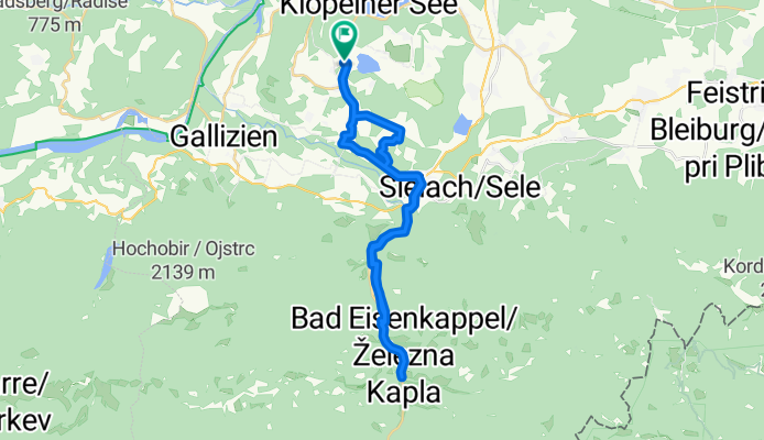
Po řece Velach
A cycling route starting in Gallizien, Carinthia, Austria.
Overview
About this route
A relaxed ride along the Velach river. Impossible to get lost. Don’t miss the climb to the fairytale hill Proboj. Excellent trip for families with children.
- -:--
- Duration
- 33.3 km
- Distance
- 642 m
- Ascent
- 627 m
- Descent
- ---
- Avg. speed
- 599 m
- Max. altitude

Route quality
Waytypes & surfaces along the route
Waytypes
Cycleway
9 km
(27 %)
Quiet road
6.7 km
(20 %)
Surfaces
Paved
16 km
(48 %)
Unpaved
2.7 km
(8 %)
Paved (undefined)
10 km
(30 %)
Asphalt
5.3 km
(16 %)
Continue with Bikemap
Use, edit, or download this cycling route
You would like to ride Po řece Velach or customize it for your own trip? Here is what you can do with this Bikemap route:
Free features
- Save this route as favorite or in collections
- Copy & plan your own version of this route
- Sync your route with Garmin or Wahoo
Premium features
Free trial for 3 days, or one-time payment. More about Bikemap Premium.
- Navigate this route on iOS & Android
- Export a GPX / KML file of this route
- Create your custom printout (try it for free)
- Download this route for offline navigation
Discover more Premium features.
Get Bikemap PremiumFrom our community
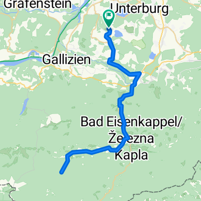
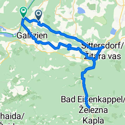
Other popular routes starting in Gallizien
 KäS5: Grafenstein-Velden; 75,2km 360hm
- Distance
- 75.2 km
- Ascent
- 559 m
- Descent
- 508 m
- Location
- Gallizien, Carinthia, Austria
 von Unternarrach zur Trögener Klamm und retour
- Distance
- 51.7 km
- Ascent
- 2,706 m
- Descent
- 2,704 m
- Location
- Gallizien, Carinthia, Austria
 Moos do Bahnhofstraße 8a, Villach
- Distance
- 65.6 km
- Ascent
- 327 m
- Descent
- 293 m
- Location
- Gallizien, Carinthia, Austria
 Annabrücke - Klopeinersee - Sittersddorf
- Distance
- 38 km
- Ascent
- 210 m
- Descent
- 232 m
- Location
- Gallizien, Carinthia, Austria
 Gallizien Eisenkappel
- Distance
- 39.5 km
- Ascent
- 736 m
- Descent
- 756 m
- Location
- Gallizien, Carinthia, Austria
 Annabrücke Eberndorf Klopeinersee
- Distance
- 36.3 km
- Ascent
- 288 m
- Descent
- 289 m
- Location
- Gallizien, Carinthia, Austria
 Donnerstag 08.07 29KM 160Hm Annabrücke
- Distance
- 28.7 km
- Ascent
- 128 m
- Descent
- 141 m
- Location
- Gallizien, Carinthia, Austria
 Po řece Velach
- Distance
- 33.3 km
- Ascent
- 642 m
- Descent
- 627 m
- Location
- Gallizien, Carinthia, Austria
Open it in the app