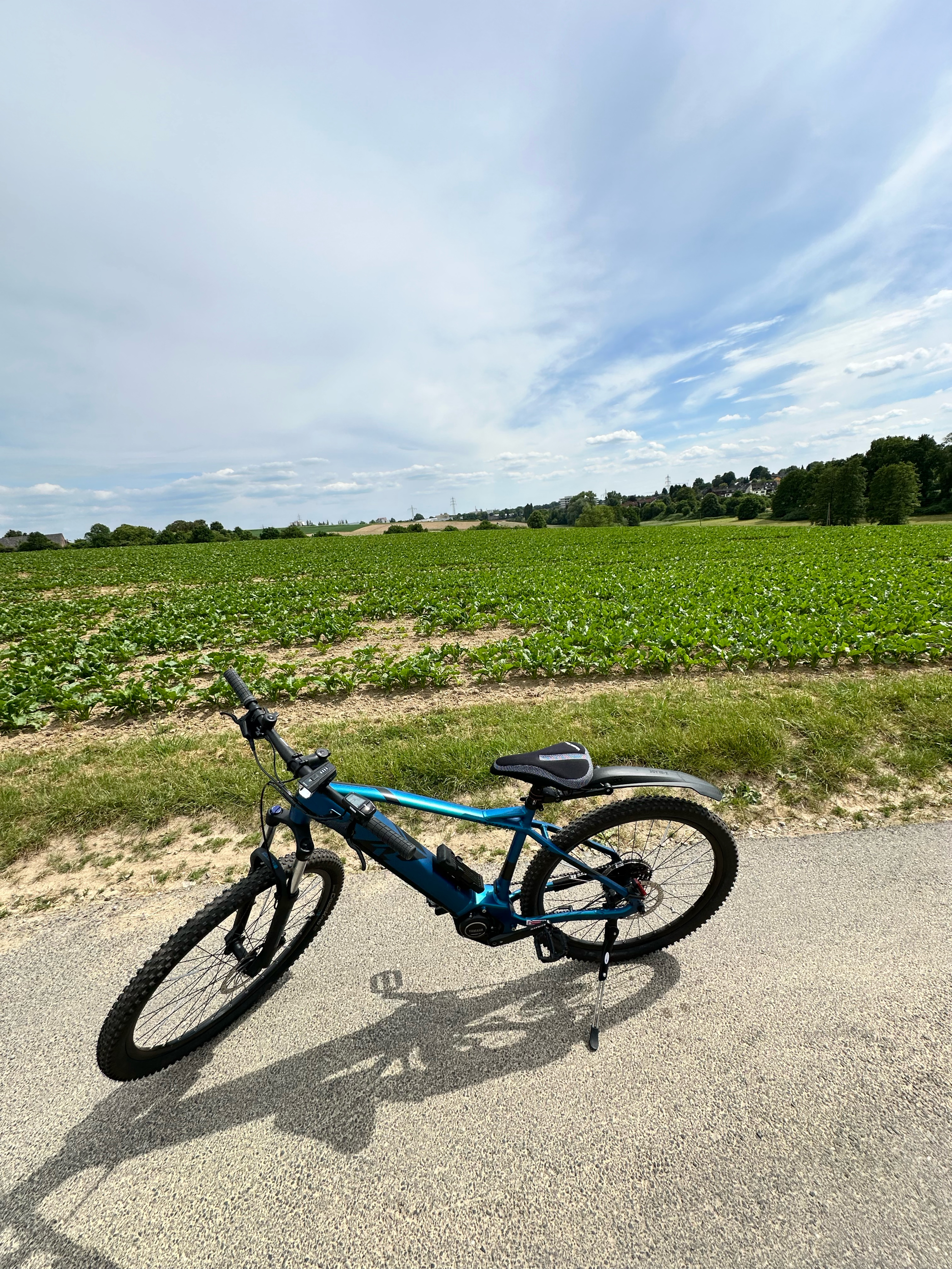
Stindertalrunner
A cycling route starting in Mettmann, North Rhine-Westphalia, Germany.
Overview
About this route
Diese Strecke ist etwas anspruchsvoller.
Die Leute die diese Gegend schoneinmal befahren haben sollten wissen das es im Frühjahr viele Umbauten an Wegen gab.
Bei der Einfacht von Nösenberg in dne Wald am ersten Abgang ist eine relativ problematische Regenrinne kurz vor einer S-Kurve auf dem Berg...bin im Bach gelandet ^^
Ansonsten ist Treppensteigen gefragt und das mehrmals rauf und wieder runter..k.A wieso das da so ist.
Beim Aufgang richtung Mühle gas geben sonst kommt ihr net durch die Steilkurve ^^
Am Ende fahre ich imemr den Dorper Weg aus trainingszwecken hinauf, muss man nicht!! sind etwa 4km gleichbleibende Steigung bei 8-9%
- -:--
- Duration
- 17 km
- Distance
- 207 m
- Ascent
- 207 m
- Descent
- ---
- Avg. speed
- ---
- Max. altitude
Continue with Bikemap
Use, edit, or download this cycling route
You would like to ride Stindertalrunner or customize it for your own trip? Here is what you can do with this Bikemap route:
Free features
- Save this route as favorite or in collections
- Copy & plan your own version of this route
- Sync your route with Garmin or Wahoo
Premium features
Free trial for 3 days, or one-time payment. More about Bikemap Premium.
- Navigate this route on iOS & Android
- Export a GPX / KML file of this route
- Create your custom printout (try it for free)
- Download this route for offline navigation
Discover more Premium features.
Get Bikemap PremiumFrom our community
Other popular routes starting in Mettmann
 Tour 88,3km Vereinsausflug 2021 Mettmann - Xanten
- Distance
- 88.3 km
- Ascent
- 128 m
- Descent
- 234 m
- Location
- Mettmann, North Rhine-Westphalia, Germany
 Niederbergische Mühlenroute
- Distance
- 52.6 km
- Ascent
- 598 m
- Descent
- 554 m
- Location
- Mettmann, North Rhine-Westphalia, Germany
 7 Hügel musst du bezwingen
- Distance
- 32.2 km
- Ascent
- 274 m
- Descent
- 320 m
- Location
- Mettmann, North Rhine-Westphalia, Germany
 Kleine Neandertalrunde
- Distance
- 5.3 km
- Ascent
- 84 m
- Descent
- 83 m
- Location
- Mettmann, North Rhine-Westphalia, Germany
 Stindertalrunner
- Distance
- 17 km
- Ascent
- 207 m
- Descent
- 207 m
- Location
- Mettmann, North Rhine-Westphalia, Germany
 Hammerstraße, Mettmann nach Hammerstraße, Mettmann
- Distance
- 6.5 km
- Ascent
- 71 m
- Descent
- 71 m
- Location
- Mettmann, North Rhine-Westphalia, Germany
 Giro2025, Tour 78,2km, Mai, Mettmann - Niederbergb. - Kupferdr. -Deilbachtal - Ruhr - Hattingen - Kohlentr. - Nordbahntr. - Schwarzbachtr. - Gruiten - Mettmann
- Distance
- 78.2 km
- Ascent
- 1,142 m
- Descent
- 1,142 m
- Location
- Mettmann, North Rhine-Westphalia, Germany
 Route Mettmann
- Distance
- 21.7 km
- Ascent
- 224 m
- Descent
- 227 m
- Location
- Mettmann, North Rhine-Westphalia, Germany
Open it in the app

