

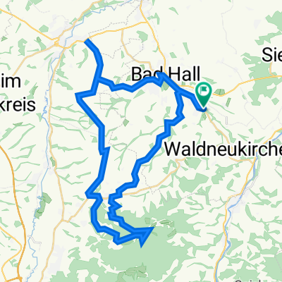
Waldneukirchen - Salzburg - Waldneukirchen
A cycling route starting in Waldneukirchen, Upper Austria, Austria.
Overview
About this route
Gemütl. Runde von Waldneukirchen über B1 nach Salzburg und :uber B158 zurück.
- -:--
- Duration
- 245 km
- Distance
- 1,078 m
- Ascent
- 1,078 m
- Descent
- ---
- Avg. speed
- ---
- Max. altitude
Route quality
Waytypes & surfaces along the route
Waytypes
Busy road
164 km
(67 %)
Quiet road
24.3 km
(10 %)
Surfaces
Paved
148.6 km
(61 %)
Unpaved
2.1 km
(<1 %)
Asphalt
147.2 km
(60 %)
Gravel
1.2 km
(<1 %)
Continue with Bikemap
Use, edit, or download this cycling route
You would like to ride Waldneukirchen - Salzburg - Waldneukirchen or customize it for your own trip? Here is what you can do with this Bikemap route:
Free features
- Save this route as favorite or in collections
- Copy & plan your own version of this route
- Split it into stages to create a multi-day tour
- Sync your route with Garmin or Wahoo
Premium features
Free trial for 3 days, or one-time payment. More about Bikemap Premium.
- Navigate this route on iOS & Android
- Export a GPX / KML file of this route
- Create your custom printout (try it for free)
- Download this route for offline navigation
Discover more Premium features.
Get Bikemap PremiumFrom our community
Other popular routes starting in Waldneukirchen
 Waldneukirchen - Aschach an der Steyr (Ortszentren, Umgehung von Hauptverkehrsstraßen)
- Distance
- 8.9 km
- Ascent
- 131 m
- Descent
- 143 m
- Location
- Waldneukirchen, Upper Austria, Austria
 Waldneukirchen - Bad Hall (Ortszentren, Umgehung von Hauptverkehrsstraßen)
- Distance
- 6.2 km
- Ascent
- 28 m
- Descent
- 89 m
- Location
- Waldneukirchen, Upper Austria, Austria
 2023_10_21_Bad Haller-Tassilorunde
- Distance
- 52.8 km
- Ascent
- 616 m
- Descent
- 616 m
- Location
- Waldneukirchen, Upper Austria, Austria
 Waldneukirchen - Sierning (Ortszentren, Umgehung von Hauptverkehrsstraßen)
- Distance
- 7.6 km
- Ascent
- 43 m
- Descent
- 120 m
- Location
- Waldneukirchen, Upper Austria, Austria
 Waldneukirchen - Salzburg - Waldneukirchen
- Distance
- 245 km
- Ascent
- 1,078 m
- Descent
- 1,078 m
- Location
- Waldneukirchen, Upper Austria, Austria
 Waldneukirchen - Untergrünburg (Ortszentren, Umgehung von Hauptverkehrsstraßen)
- Distance
- 4.3 km
- Ascent
- 26 m
- Descent
- 105 m
- Location
- Waldneukirchen, Upper Austria, Austria
 Grünburg Trattenbach Grünburgerhütte
- Distance
- 55.9 km
- Ascent
- 1,536 m
- Descent
- 1,536 m
- Location
- Waldneukirchen, Upper Austria, Austria
 2023_11_04_Bad Haller-Auf´s Weiss´n
- Distance
- 44 km
- Ascent
- 742 m
- Descent
- 741 m
- Location
- Waldneukirchen, Upper Austria, Austria
Open it in the app