Bejuma - La Torre
A cycling route starting in Bejuma, Carabobo, Venezuela.
Overview
About this route
Ruta en la cual es relativamente corta partiendo de la Poblacion de Bejuma. En su mayoria de asfalto y luego tierra y cemento, la ruta tiene aproximadamente 4,3 km en ascenso hasta la cima. La cual podremos disfrutar de un paisaje como la vista de Bejuma Montalban y parte de Miranda, y al contrario de la vista veremos la carretera Panamericana y muchas fincas. Esta ruta es muy frecuentada por caminantes del Municipio y Ciclista, ya que es una ruta ideal para entrenamiento en la semana. Es llamada la Torre por que cuenta con 4 Torres de Televisoras y diferentes Compañias de comunicacion. En el inicio del recorrido podran ver marcas de ciclistas en el cual ofrece la informacion de cual kilometro nos encontramos. Realizadas por nuestro grupo.
- -:--
- Duration
- 9.6 km
- Distance
- 589 m
- Ascent
- 528 m
- Descent
- ---
- Avg. speed
- ---
- Avg. speed
Route quality
Waytypes & surfaces along the route
Waytypes
Undefined
9.6 km
(100 %)
Surfaces
Undefined
9.6 km
(100 %)
Continue with Bikemap
Use, edit, or download this cycling route
You would like to ride Bejuma - La Torre or customize it for your own trip? Here is what you can do with this Bikemap route:
Free features
- Save this route as favorite or in collections
- Copy & plan your own version of this route
- Sync your route with Garmin or Wahoo
Premium features
Free trial for 3 days, or one-time payment. More about Bikemap Premium.
- Navigate this route on iOS & Android
- Export a GPX / KML file of this route
- Create your custom printout (try it for free)
- Download this route for offline navigation
Discover more Premium features.
Get Bikemap PremiumFrom our community
Other popular routes starting in Bejuma
- Bejuma - La Torre
- Distance
- 9.6 km
- Ascent
- 589 m
- Descent
- 528 m
- Location
- Bejuma, Carabobo, Venezuela
- Valle Rio Chirgua - Carabobo
- Distance
- 40.2 km
- Ascent
- 254 m
- Descent
- 260 m
- Location
- Bejuma, Carabobo, Venezuela
- De 5PFW+H4V, Bejuma a Vía sin nombre
- Distance
- 24 km
- Ascent
- 165 m
- Descent
- 209 m
- Location
- Bejuma, Carabobo, Venezuela
- Reto San Isidro Municipio Bejuma
- Distance
- 33.9 km
- Ascent
- 976 m
- Descent
- 978 m
- Location
- Bejuma, Carabobo, Venezuela
- Bejuma - La Olla
- Distance
- 29 km
- Ascent
- 296 m
- Descent
- 296 m
- Location
- Bejuma, Carabobo, Venezuela
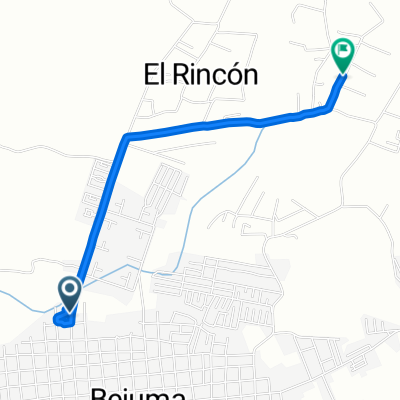
- Bejuma - San Isidro - Calcetas
- Distance
- 27.5 km
- Ascent
- 968 m
- Descent
- 936 m
- Location
- Bejuma, Carabobo, Venezuela