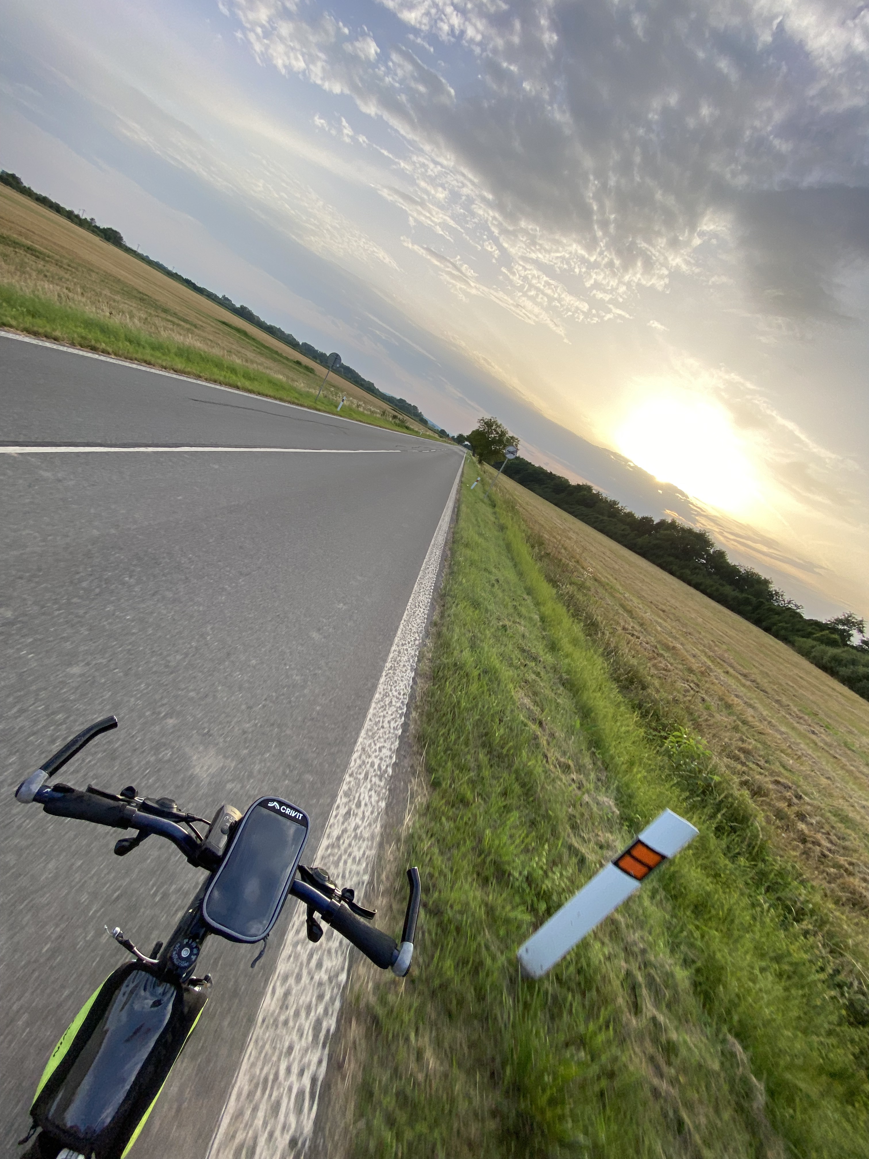
Egy kevés Alsó-Zemplén és egy kis Bodrogköz (Kúsok Dolného Zemplína a Medzibodrožia
A cycling route starting in Čierna nad Tisou, Košice Region, Slovakia.
Overview
About this route
All day. It might be too much for many beginners. Several alternatives possible; 80-100 km. But also completely different routes.
From Csicser (we can also go on the nature trail to Bés), Vaján, Nagyráska, Abara, here we can continue on asphalt, but the terrain is not difficult either, mainly along the river (old road, dirt road, embankment). You can ride up to the Imreg and Szürnyeg hills. From here you can go in another direction depending on your preference. For example Hraň - detská liečebňa, Novosad, Kašov, back to Cejkov and further. In Borsi we can see the Rákóczi statue, in Bodrogszög Slovakia's lowest point, then back via Zétény or Szentes.
- -:--
- Duration
- 88 km
- Distance
- 159 m
- Ascent
- 159 m
- Descent
- ---
- Avg. speed
- ---
- Max. altitude
Route quality
Waytypes & surfaces along the route
Waytypes
Road
29.9 km
(34 %)
Track
26.4 km
(30 %)
Surfaces
Paved
30.8 km
(35 %)
Unpaved
15.8 km
(18 %)
Asphalt
25.5 km
(29 %)
Ground
8.8 km
(10 %)
Continue with Bikemap
Use, edit, or download this cycling route
You would like to ride Egy kevés Alsó-Zemplén és egy kis Bodrogköz (Kúsok Dolného Zemplína a Medzibodrožia or customize it for your own trip? Here is what you can do with this Bikemap route:
Free features
- Save this route as favorite or in collections
- Copy & plan your own version of this route
- Split it into stages to create a multi-day tour
- Sync your route with Garmin or Wahoo
Premium features
Free trial for 3 days, or one-time payment. More about Bikemap Premium.
- Navigate this route on iOS & Android
- Export a GPX / KML file of this route
- Create your custom printout (try it for free)
- Download this route for offline navigation
Discover more Premium features.
Get Bikemap PremiumFrom our community
Other popular routes starting in Čierna nad Tisou
 Veľkohorešský cyklomaratón
- Distance
- 68.3 km
- Ascent
- 172 m
- Descent
- 171 m
- Location
- Čierna nad Tisou, Košice Region, Slovakia
 Ukrajina 26.7.2010
- Distance
- 28 km
- Ascent
- 20 m
- Descent
- 12 m
- Location
- Čierna nad Tisou, Košice Region, Slovakia
 V. Kapusany - Vojany - Brehov - Borsa - Leles - V. Kapusany
- Distance
- 83 km
- Ascent
- 201 m
- Descent
- 201 m
- Location
- Čierna nad Tisou, Košice Region, Slovakia
 V. Kapušany – Košice
- Distance
- 83.5 km
- Ascent
- 438 m
- Descent
- 349 m
- Location
- Čierna nad Tisou, Košice Region, Slovakia
 Malé Trakany_Malá Tŕňa
- Distance
- 78 km
- Ascent
- 182 m
- Descent
- 124 m
- Location
- Čierna nad Tisou, Košice Region, Slovakia
 Trakanská, Čierna nad Tisou až Jarná, Čierna nad Tisou
- Distance
- 18.9 km
- Ascent
- 9 m
- Descent
- 7 m
- Location
- Čierna nad Tisou, Košice Region, Slovakia
 okruh Zakarpatská Rus
- Distance
- 295.8 km
- Ascent
- 1,397 m
- Descent
- 1,392 m
- Location
- Čierna nad Tisou, Košice Region, Slovakia
 Popri Latorici
- Distance
- 44.8 km
- Ascent
- 10 m
- Descent
- 11 m
- Location
- Čierna nad Tisou, Košice Region, Slovakia
Open it in the app

