Lunch ride
A cycling route starting in Renens, Canton of Vaud, Switzerland.
Overview
About this route
Renens
Villars sainte.croix Vufflens la ville Aclens Cottons Colombier Saint.saphorin Lonay Echandens Ecublens Renens- -:--
- Duration
- 33.1 km
- Distance
- 383 m
- Ascent
- 383 m
- Descent
- ---
- Avg. speed
- ---
- Avg. speed
Route quality
Waytypes & surfaces along the route
Waytypes
Road
21.8 km
(66 %)
Busy road
7.5 km
(23 %)
Surfaces
Paved
13.1 km
(40 %)
Unpaved
0.1 km
(<1 %)
Asphalt
13 km
(39 %)
Paved (undefined)
0.1 km
(<1 %)
Continue with Bikemap
Use, edit, or download this cycling route
You would like to ride Lunch ride or customize it for your own trip? Here is what you can do with this Bikemap route:
Free features
- Save this route as favorite or in collections
- Copy & plan your own version of this route
- Sync your route with Garmin or Wahoo
Premium features
Free trial for 3 days, or one-time payment. More about Bikemap Premium.
- Navigate this route on iOS & Android
- Export a GPX / KML file of this route
- Create your custom printout (try it for free)
- Download this route for offline navigation
Discover more Premium features.
Get Bikemap PremiumFrom our community
Other popular routes starting in Renens
- Rue de Lausanne 60, Renens VD nach Chemin de la Colice 22, Crissier
- Distance
- 4.5 km
- Ascent
- 81 m
- Descent
- 40 m
- Location
- Renens, Canton of Vaud, Switzerland
- Avenue de la Poste 16, Renens VD Ã Le Vieux Bourg 10, Denges
- Distance
- 5.2 km
- Ascent
- 48 m
- Descent
- 72 m
- Location
- Renens, Canton of Vaud, Switzerland
- De Chemin de la Cure à Route du Château
- Distance
- 13 km
- Ascent
- 340 m
- Descent
- 108 m
- Location
- Renens, Canton of Vaud, Switzerland
- Itinéraire modéré en Renens VD
- Distance
- 19.3 km
- Ascent
- 292 m
- Descent
- 307 m
- Location
- Renens, Canton of Vaud, Switzerland
- renens amsterdam. modification
- Distance
- 1,071.8 km
- Ascent
- 1,399 m
- Descent
- 1,824 m
- Location
- Renens, Canton of Vaud, Switzerland
- De Chemin de la Cure à Chemin de la Grange aux Aguets
- Distance
- 23.5 km
- Ascent
- 261 m
- Descent
- 159 m
- Location
- Renens, Canton of Vaud, Switzerland
- Bussigny chemin des 3 refuges
- Distance
- 22.1 km
- Ascent
- 226 m
- Descent
- 226 m
- Location
- Renens, Canton of Vaud, Switzerland
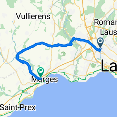
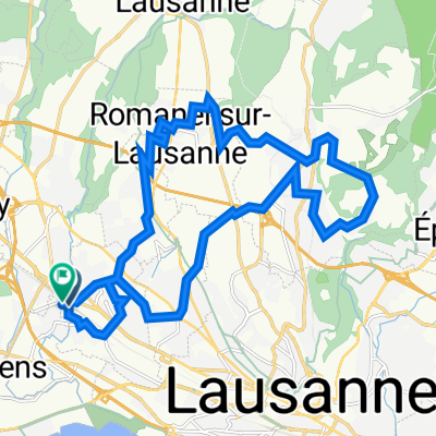
- Renens - Montrichier - Neuchatel - Renens V1
- Distance
- 204 km
- Ascent
- 2,532 m
- Descent
- 2,452 m
- Location
- Renens, Canton of Vaud, Switzerland
Open it in the app