Navajas - Higueras I
- 63.7 km
- 941 m
- 938 m
- Navajas, Valencia, Spain
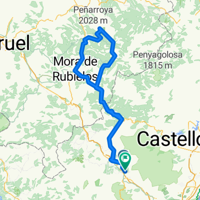
Circular route starting from the camping site in Navajas. The route goes through Gaibiel, Matet, Villamalur, Pavías, Higueras, Caudiel, Jérica, and Embalse del Regajo and returns back to the camping site in Navajas.
Road
35.1 km55 %Quiet road
21 km33 %Paved
31.2 km(49 %)Asphalt
28.7 km45 %Paved (undefined)
2.5 km4 %Undefined
32.5 km51 %Free trial for 3 days, or one-time payment. More about Bikemap Premium.
Discover more Premium features.
Get Bikemap PremiumOpen it in the app