

Ostseetour Etappe 4
A cycling route starting in Lauenbrück, Lower Saxony, Germany.
Overview
About this route
from Lion Island Lauenbrück to Land Stove Camping in Drage
- -:--
- Duration
- 76.1 km
- Distance
- 141 m
- Ascent
- 172 m
- Descent
- ---
- Avg. speed
- ---
- Max. altitude

Route quality
Waytypes & surfaces along the route
Waytypes
Quiet road
24.4 km
(32 %)
Road
15.2 km
(20 %)
Surfaces
Paved
43.4 km
(57 %)
Unpaved
6.1 km
(8 %)
Asphalt
33.5 km
(44 %)
Concrete
5.3 km
(7 %)
Route highlights
Points of interest along the route
Point of interest after 58.5 km
Fahrradladen Timm
Point of interest after 58.5 km
Fahrradladen
Point of interest after 58.9 km
Fahrradladen
Point of interest after 74.9 km
Bäckerei Schuhmacher
Point of interest after 76 km
Australien Shop
Point of interest after 76 km
Edeka
Continue with Bikemap
Use, edit, or download this cycling route
You would like to ride Ostseetour Etappe 4 or customize it for your own trip? Here is what you can do with this Bikemap route:
Free features
- Save this route as favorite or in collections
- Copy & plan your own version of this route
- Sync your route with Garmin or Wahoo
Premium features
Free trial for 3 days, or one-time payment. More about Bikemap Premium.
- Navigate this route on iOS & Android
- Export a GPX / KML file of this route
- Create your custom printout (try it for free)
- Download this route for offline navigation
Discover more Premium features.
Get Bikemap PremiumFrom our community
Other popular routes starting in Lauenbrück
 Lauenbrück Steinhuder Meer Kassel Fulda Gelnhausen
- Distance
- 180.3 km
- Ascent
- 629 m
- Descent
- 499 m
- Location
- Lauenbrück, Lower Saxony, Germany
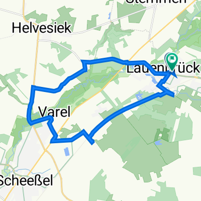
 Lauenbrück-Scheeßel-Helvesiek-Stemmen-Lauenbrück
- Distance
- 27.3 km
- Ascent
- 38 m
- Descent
- 37 m
- Location
- Lauenbrück, Lower Saxony, Germany
 06_Lauenbrück-Stuhr_72km
- Distance
- 72.8 km
- Ascent
- 44 m
- Descent
- 68 m
- Location
- Lauenbrück, Lower Saxony, Germany
 Stemmer Runde - Ultra
- Distance
- 17.9 km
- Ascent
- 33 m
- Descent
- 42 m
- Location
- Lauenbrück, Lower Saxony, Germany
 Schwarzer Weg 13, Lauenbrück nach Schwarzer Weg 14, Lauenbrück
- Distance
- 15.3 km
- Ascent
- 40 m
- Descent
- 41 m
- Location
- Lauenbrück, Lower Saxony, Germany
 Lauenbrück
- Distance
- 39.2 km
- Ascent
- 143 m
- Descent
- 114 m
- Location
- Lauenbrück, Lower Saxony, Germany
 Lauenburg -->Bremen
- Distance
- 53 km
- Ascent
- 63 m
- Descent
- 90 m
- Location
- Lauenbrück, Lower Saxony, Germany
 Ostseetour Etappe 4
- Distance
- 76.1 km
- Ascent
- 141 m
- Descent
- 172 m
- Location
- Lauenbrück, Lower Saxony, Germany
Open it in the app