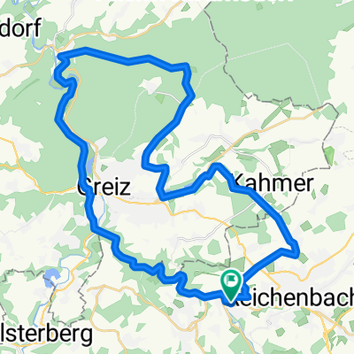
Tour de Franz III
- 42.4 km
- 561 m
- 561 m
- Mylau, Saxony, Germany
A cycling route starting in Mylau, Saxony, Germany.
Overview
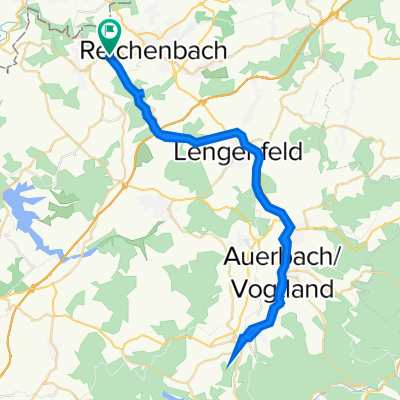
for measuring track sections GRM
created this 11 years ago
Route quality
Road
2.9 km
(84 %)
Undefined
0.5 km
(16 %)
Paved
2 km
(58 %)
Asphalt
2 km
(58 %)
Undefined
1.4 km
(42 %)
Continue with Bikemap
You would like to ride Meßstrecke or customize it for your own trip? Here is what you can do with this Bikemap route:
Free trial for 3 days, or one-time payment. More about Bikemap Premium.
Discover more Premium features.
Get Bikemap PremiumFrom our community
Open it in the app